District of Columbia County Map
District of Columbia has 1 county-equivalent. It covers 61.1 sq mi of land and holds 693,645 people.
- County-Equivalents
- 1
- 51st most of the 51 states and DC
- Population
- 693,645
- 49th largest
- Land area
- 61.1
- square miles
- Density
- 11,348
- people per square mile, computed
Sources: US Census Bureau, Population Estimates Program, Vintage 2025 Population Estimates, released 26 March 2026; US Census Bureau, Gazetteer Files, 2025 Gazetteer Files, released 10 September 2025. Retrieved 30 August 2026.
Download this map
Free to use and redistribute. The boundaries are public-domain Census Bureau data; attribution to County Maps US is appreciated but not required.
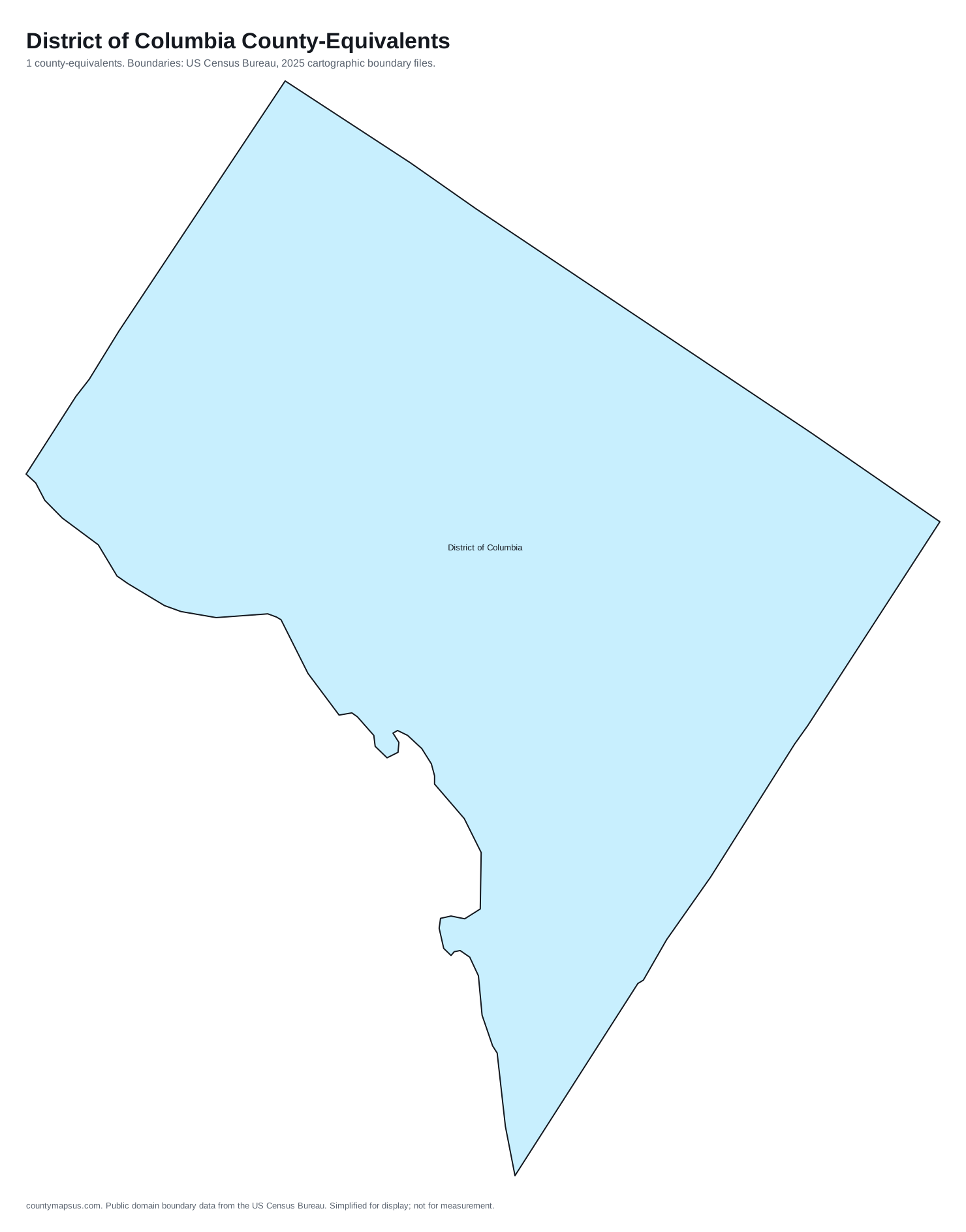
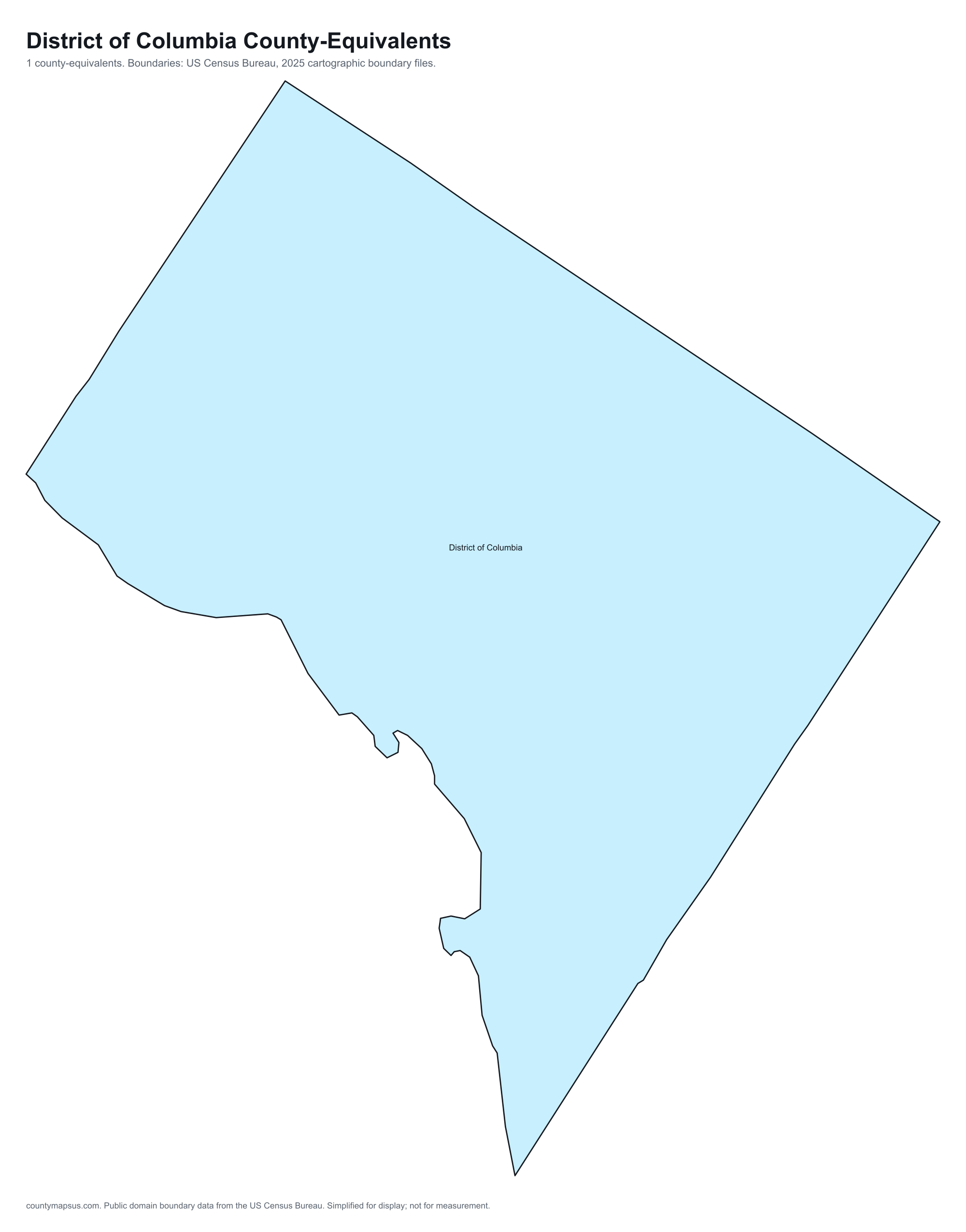
Satellite view
Aerial imagery of District of Columbia with the state boundary drawn on top. County lines are not drawn here: at this scale they would bury the picture, and the map above already carries them.
The extremes of District of Columbia
All 1 county-equivalent of District of Columbia
Sortable on any column. This table doubles as the text alternative to the map above: every area is a link, in alphabetical order, whether or not the map renders.
| Name | Population | Land area | Density | Median income | Seat | FIPS |
|---|---|---|---|---|---|---|
| District of Columbia | 693,645 | 61.1 sq mi | 11,348 per sq mi | $109,870 | District of Columbia | 11001 |
Sources: US Census Bureau, Population Estimates Program, Vintage 2025 Population Estimates, released 26 March 2026; US Census Bureau, Gazetteer Files, 2025 Gazetteer Files, released 10 September 2025; US Census Bureau, American Community Survey, American Community Survey 2020-2024 5-Year Estimates, released 29 January 2026; Wikidata (CC0), Wikidata. Retrieved 30 August 2026.
The ten most populous
- District of Columbia693,645
Data on this page last rebuilt 30 August 2026. How these figures are produced.