Free printable blank maps
108 maps you can print or drop into a document: every US state with its counties drawn, the world and its continents, and 51 countries. Each comes blank and labelled, in SVG, PNG and PDF, drawn from public-domain boundary data, so they are free to use in class, in print and commercially.
US states, with counties
All 50 states and DC. Each state page carries the blank and labelled county map in SVG, PNG and PDF, plus the interactive map and the data table. 3,144 counties in total.
- Alabama67 counties
- Alaska30 boroughs and census areas
- Arizona15 counties
- Arkansas75 counties
- California58 counties
- Colorado64 counties
- Connecticut9 planning regions
- Delaware3 counties
- District of Columbia1 county-equivalent
- Florida67 counties
- Georgia159 counties
- Hawaii5 counties
- Idaho44 counties
- Illinois102 counties
- Indiana92 counties
- Iowa99 counties
- Kansas105 counties
- Kentucky120 counties
- Louisiana64 parishes
- Maine16 counties
- Maryland24 counties
- Massachusetts14 counties
- Michigan83 counties
- Minnesota87 counties
- Mississippi82 counties
- Missouri115 counties
- Montana56 counties
- Nebraska93 counties
- Nevada17 counties
- New Hampshire10 counties
- New Jersey21 counties
- New Mexico33 counties
- New York62 counties
- North Carolina100 counties
- North Dakota53 counties
- Ohio88 counties
- Oklahoma77 counties
- Oregon36 counties
- Pennsylvania67 counties
- Rhode Island5 counties
- South Carolina46 counties
- South Dakota66 counties
- Tennessee95 counties
- Texas254 counties
- Utah29 counties
- Vermont14 counties
- Virginia133 counties and independent cities
- Washington39 counties
- West Virginia55 counties
- Wisconsin72 counties
- Wyoming23 counties
World and continents
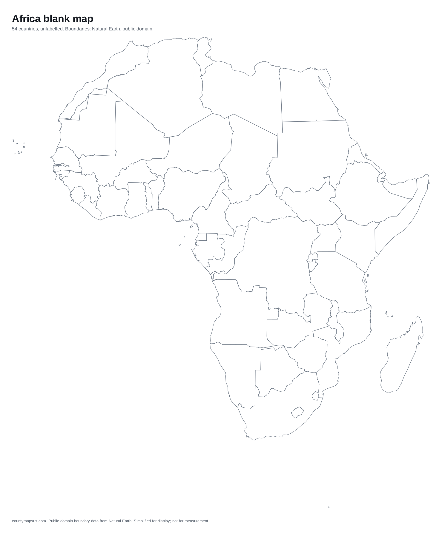
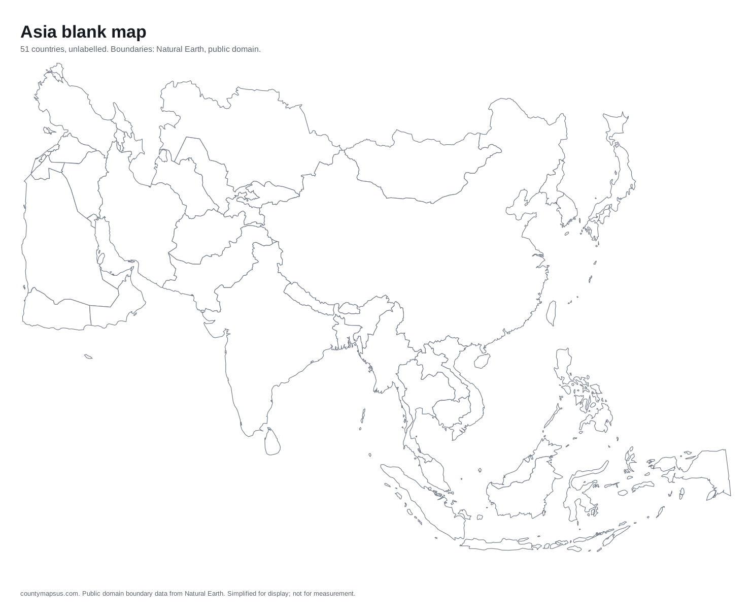
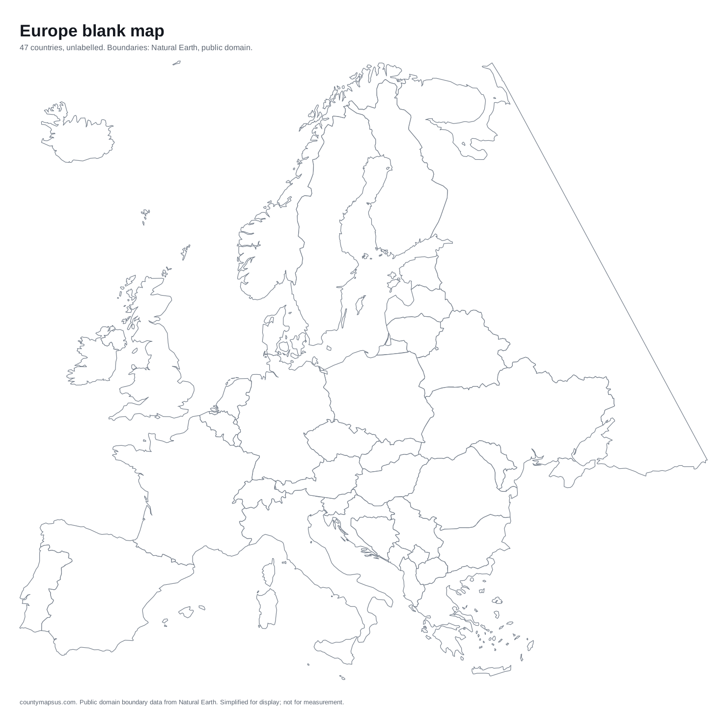
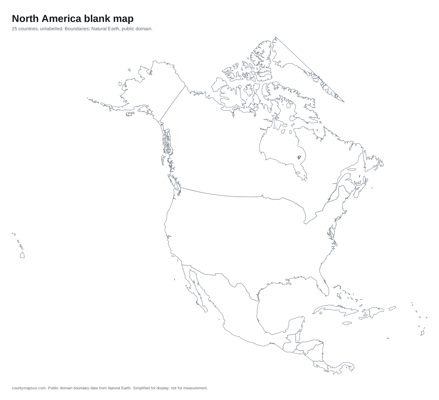
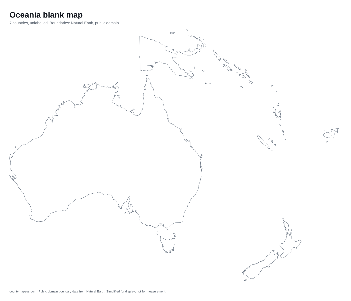
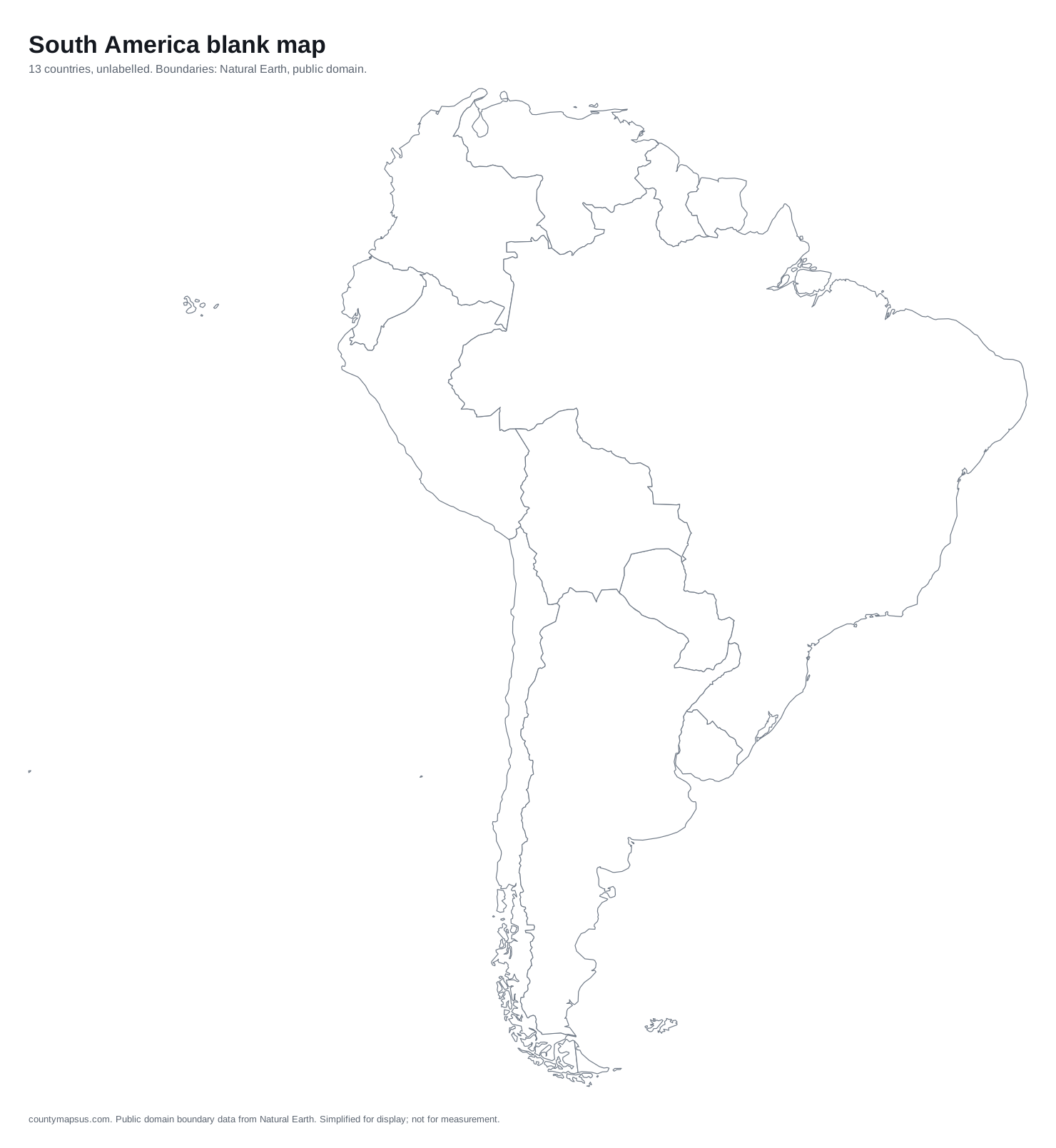
Outline maps with country borders, blank or with every country named.
Countries
Country outlines with their states, provinces or regions drawn, blank or labelled.
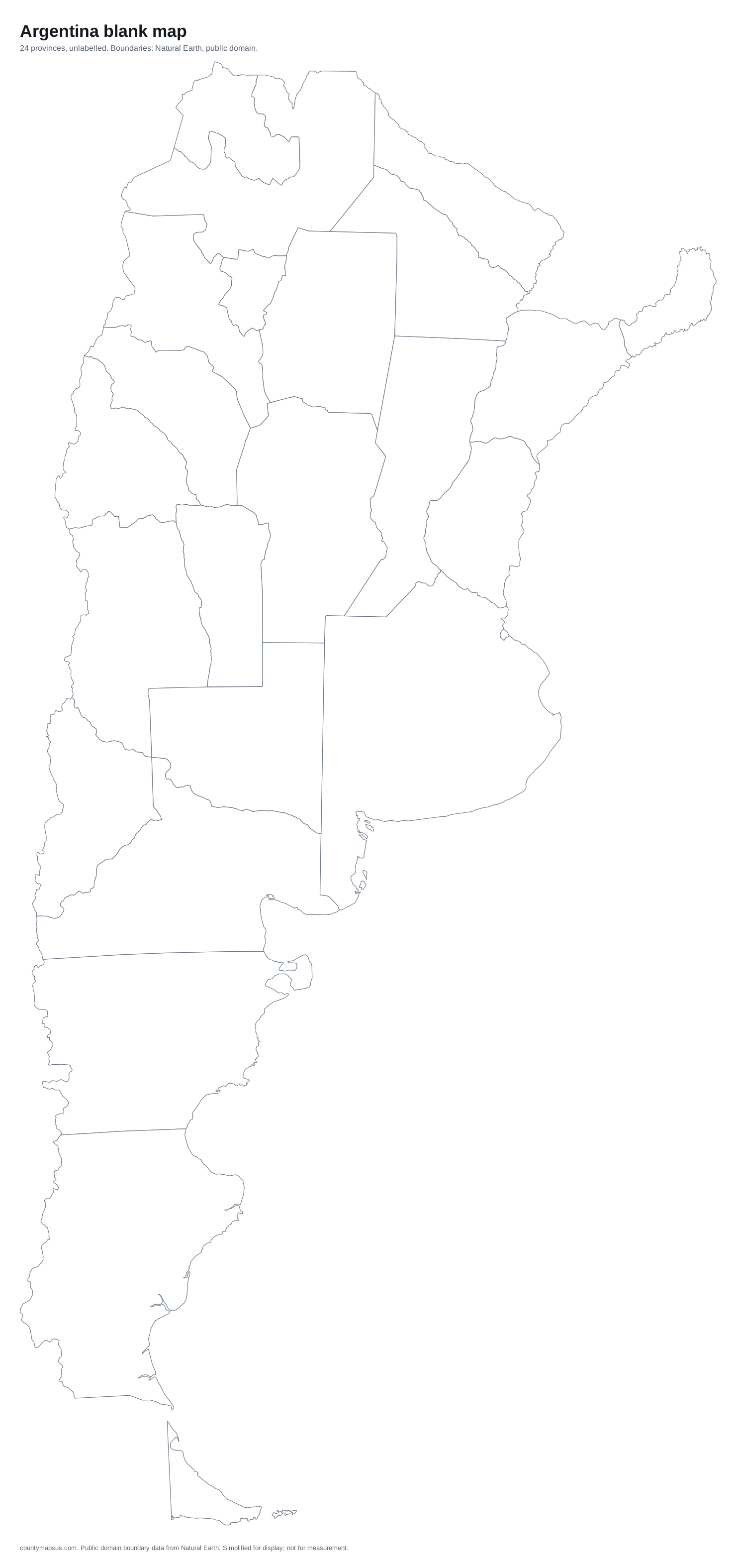 Argentina24 provinces
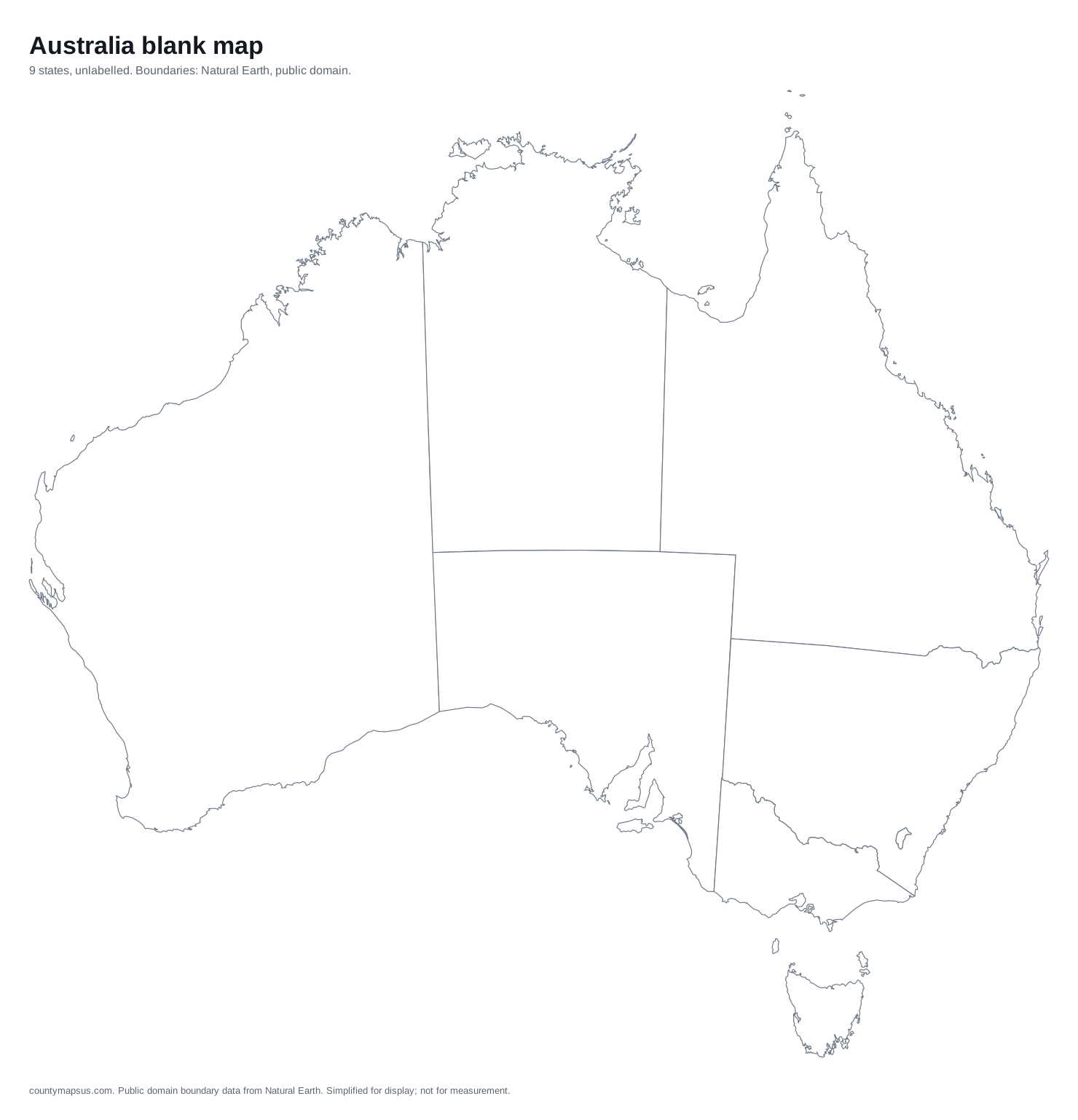 Australia9 states
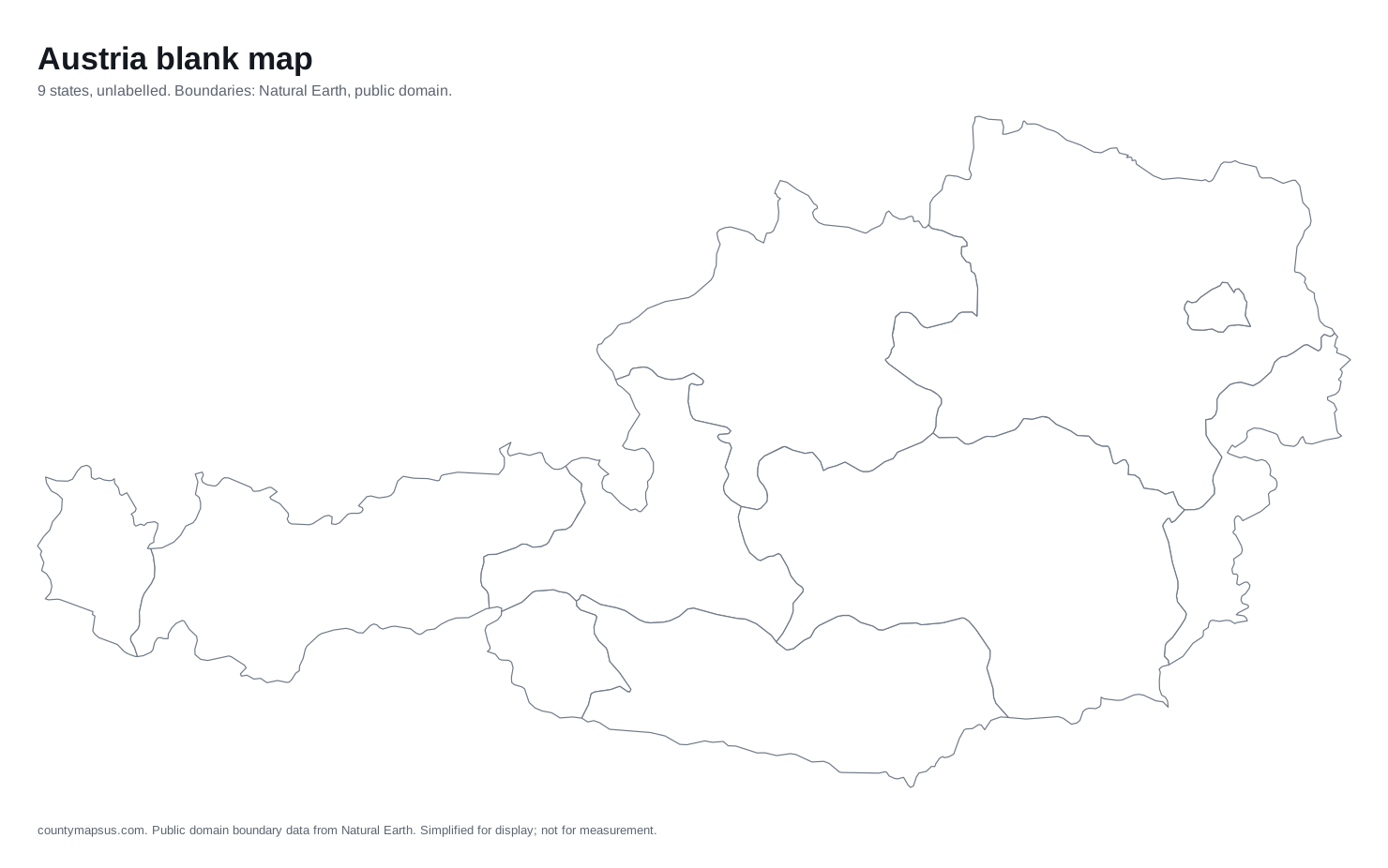 Austria9 states
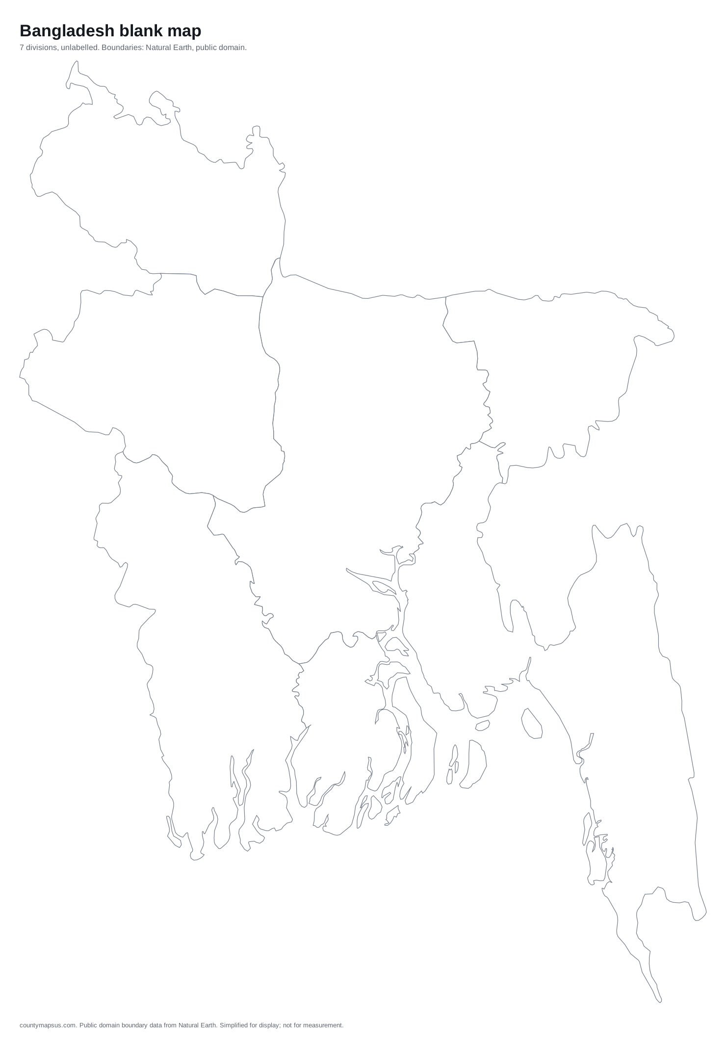 Bangladesh7 divisions
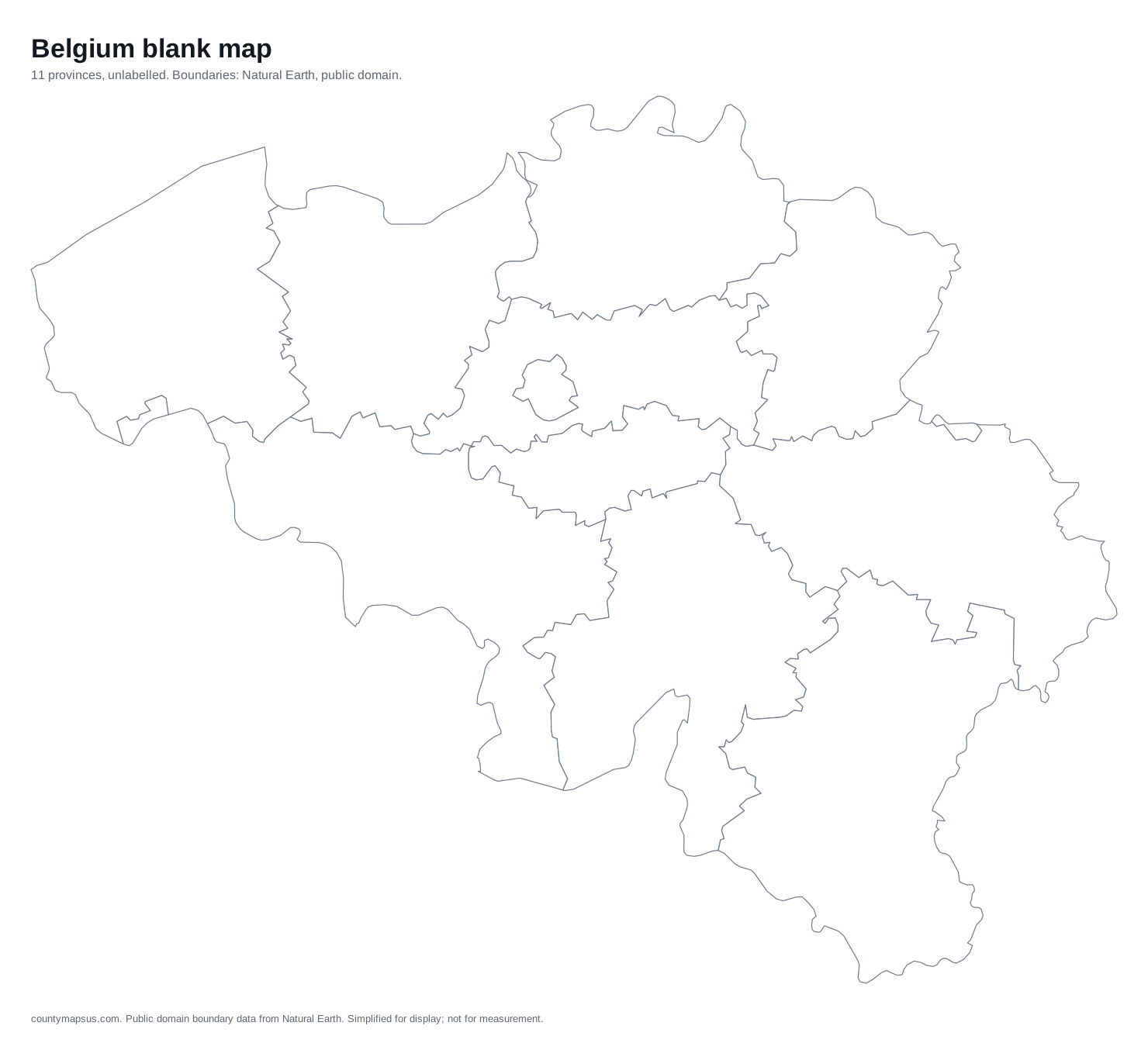 Belgium11 provinces
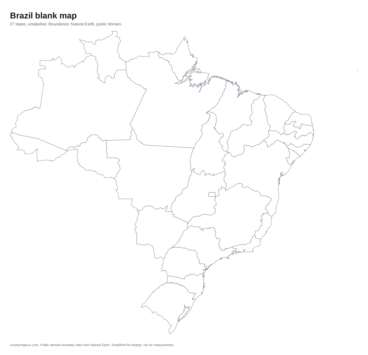 Brazil27 states
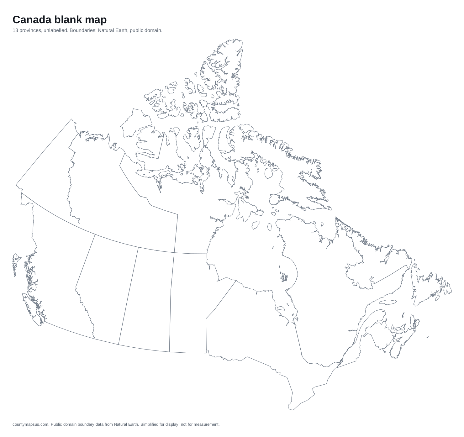 Canada13 provinces
 Chile16 regions
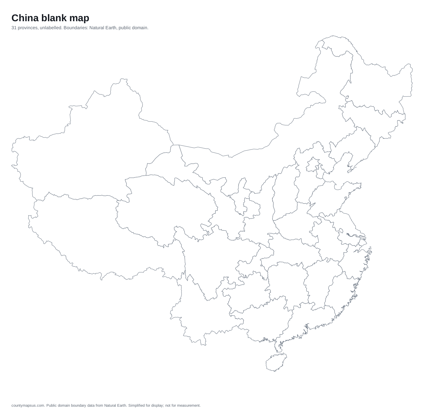 China31 provinces
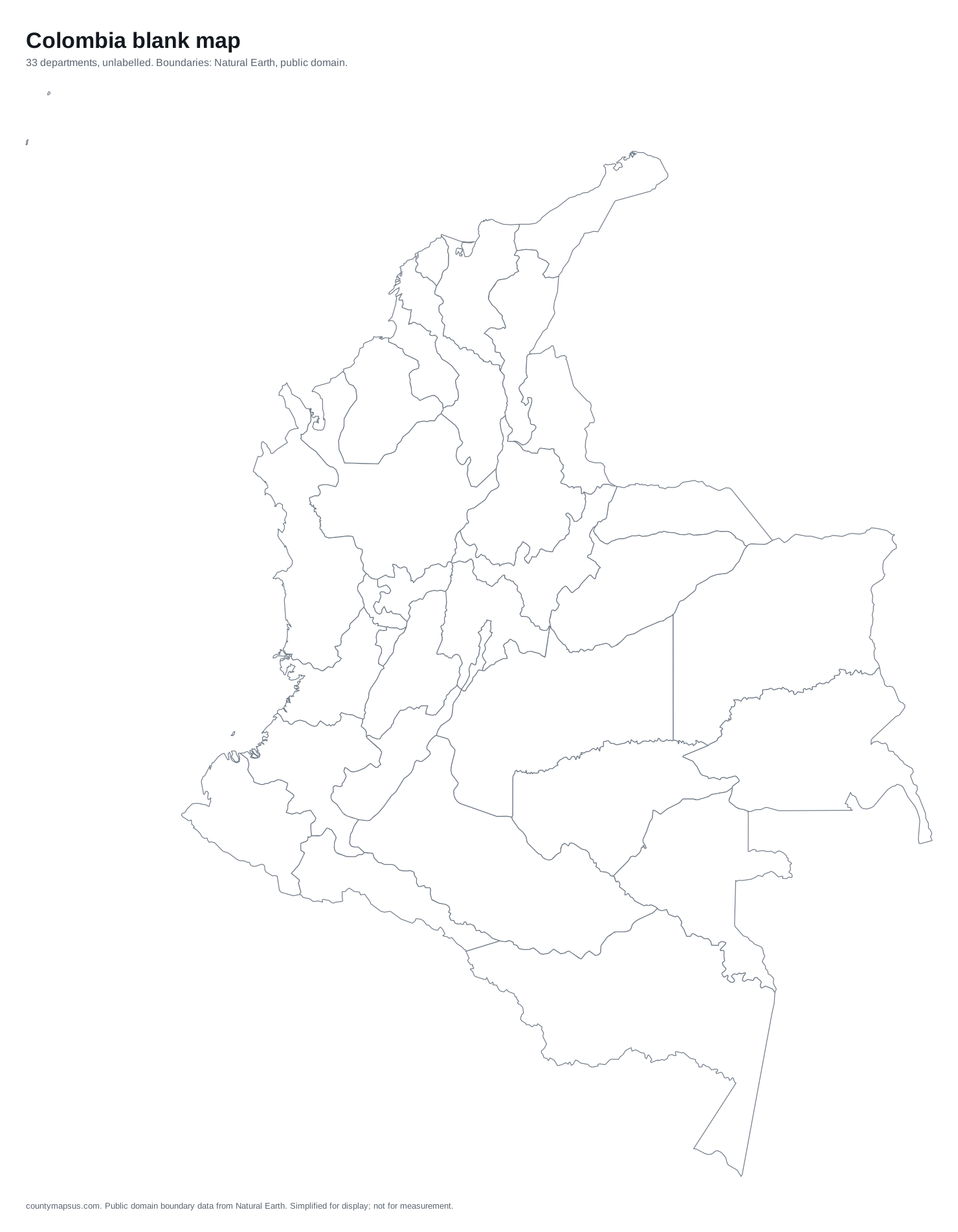 Colombia33 departments
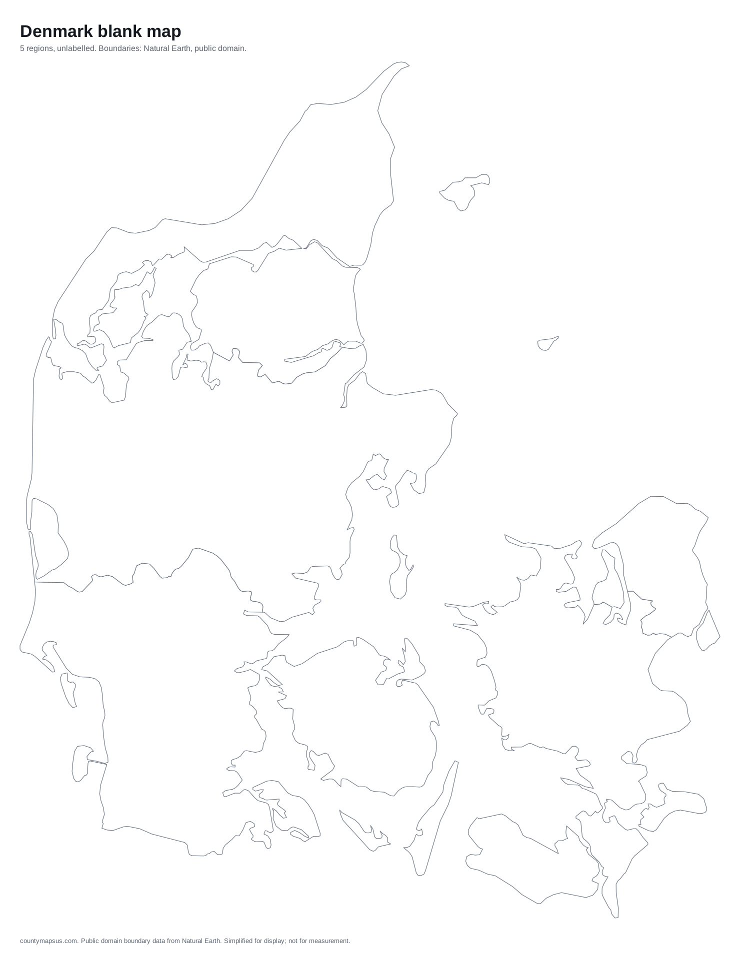 Denmark5 regions
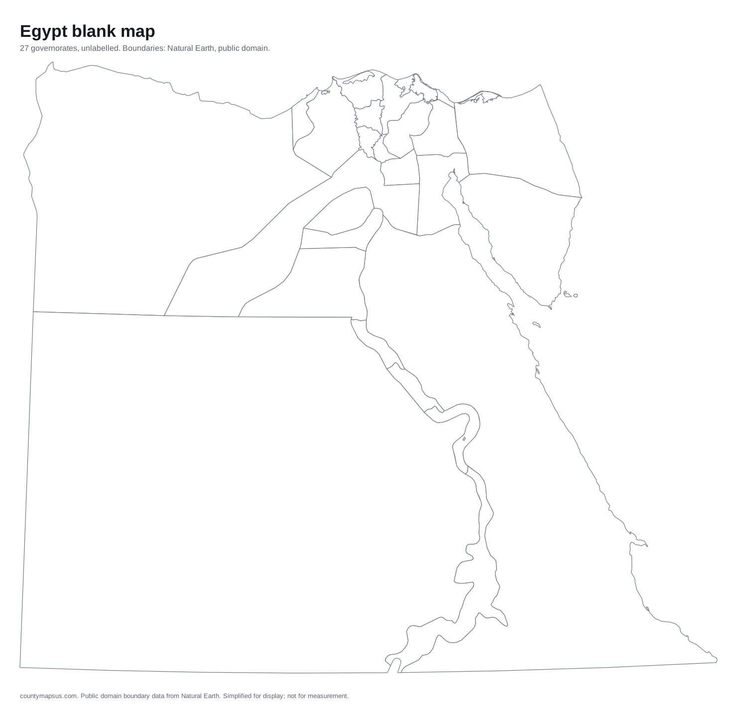 Egypt27 governorates
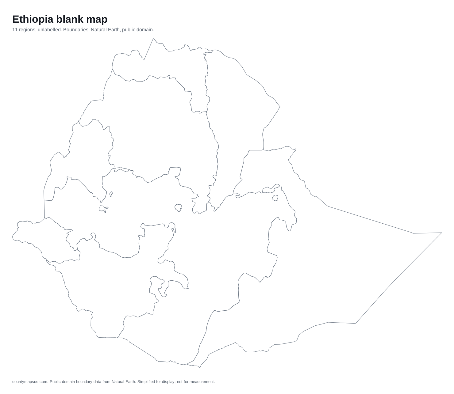 Ethiopia11 regions
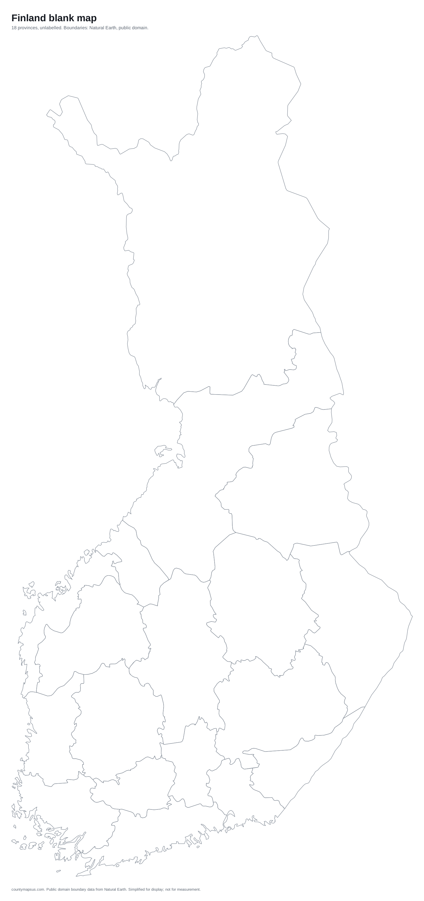 Finland18 provinces
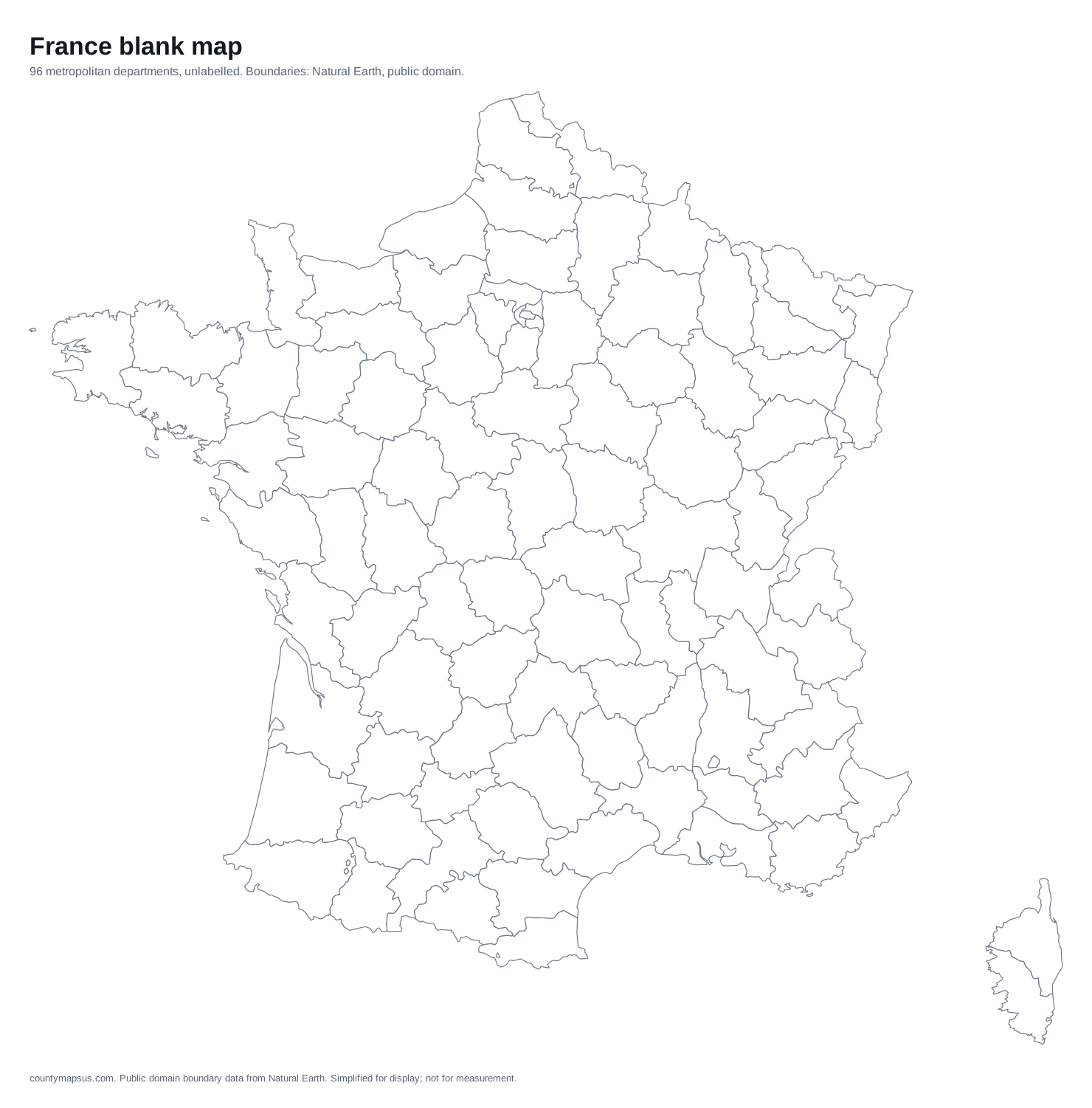 France96 metropolitan departments
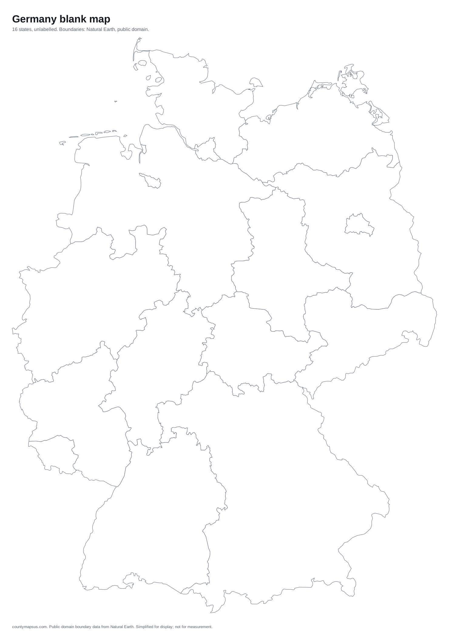 Germany16 states
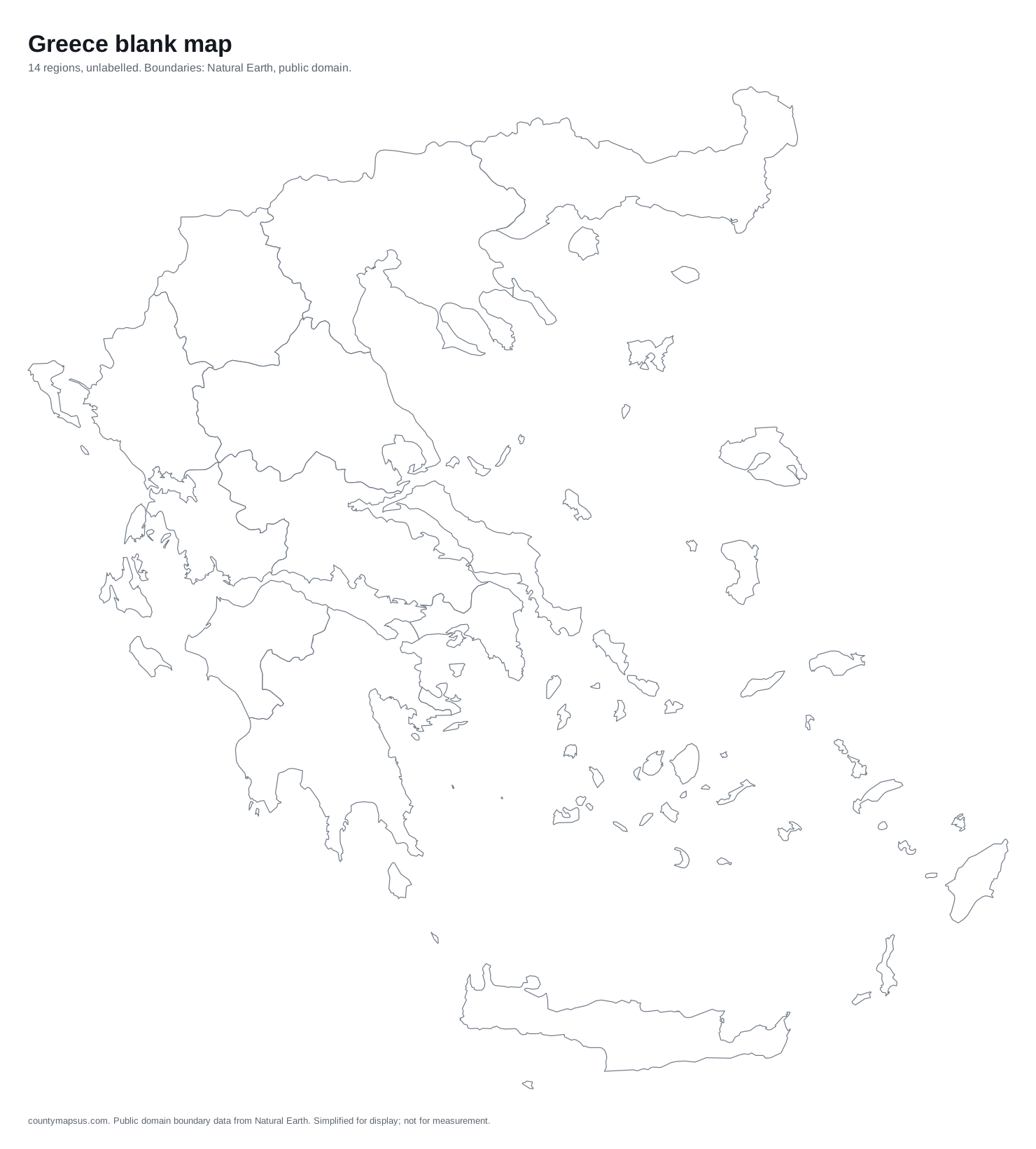 Greece14 regions
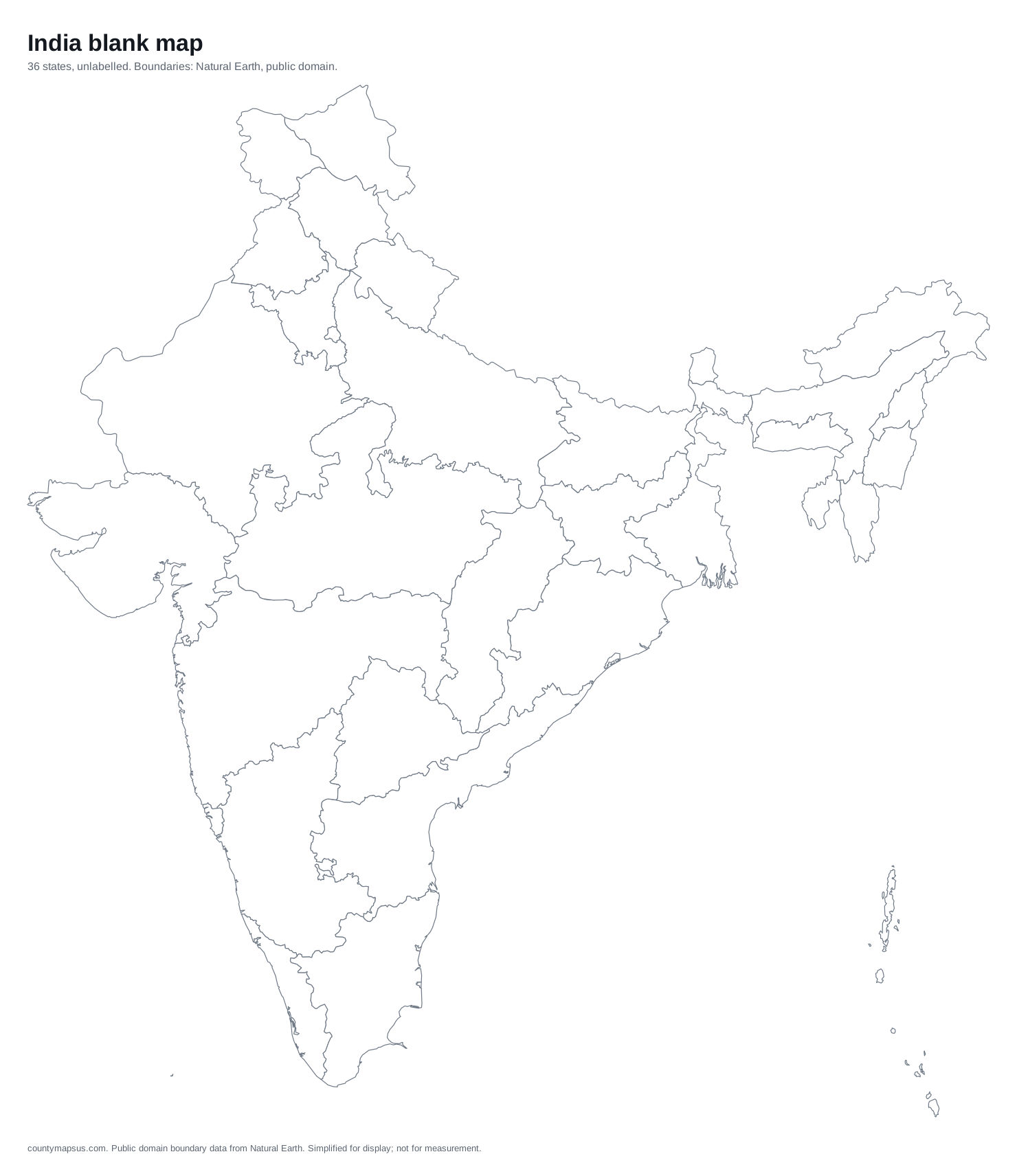 India36 states
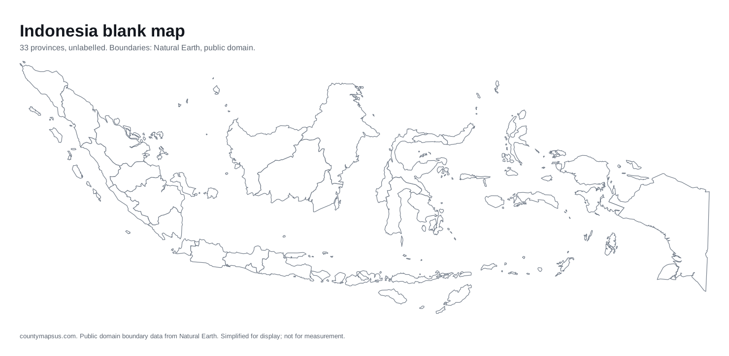 Indonesia33 provinces
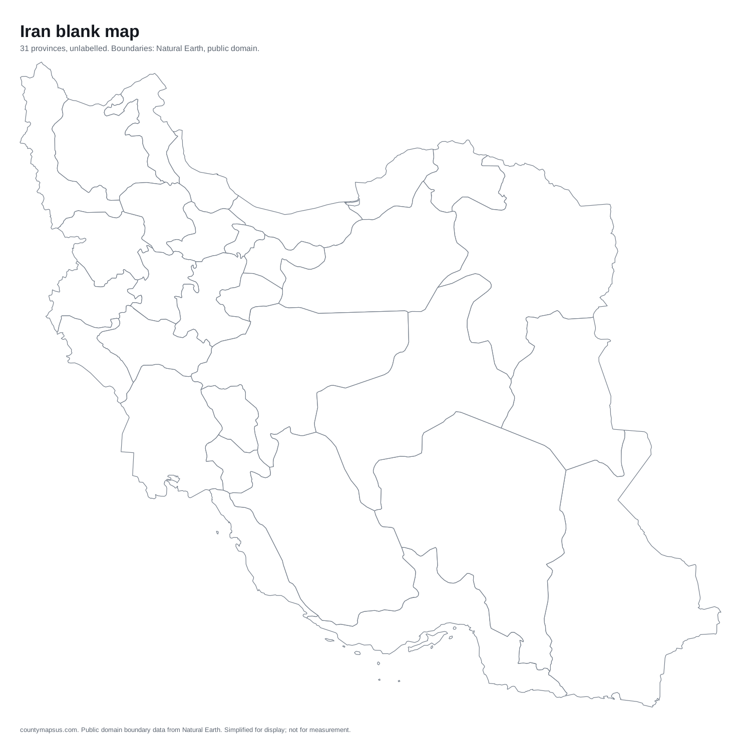 Iran31 provinces
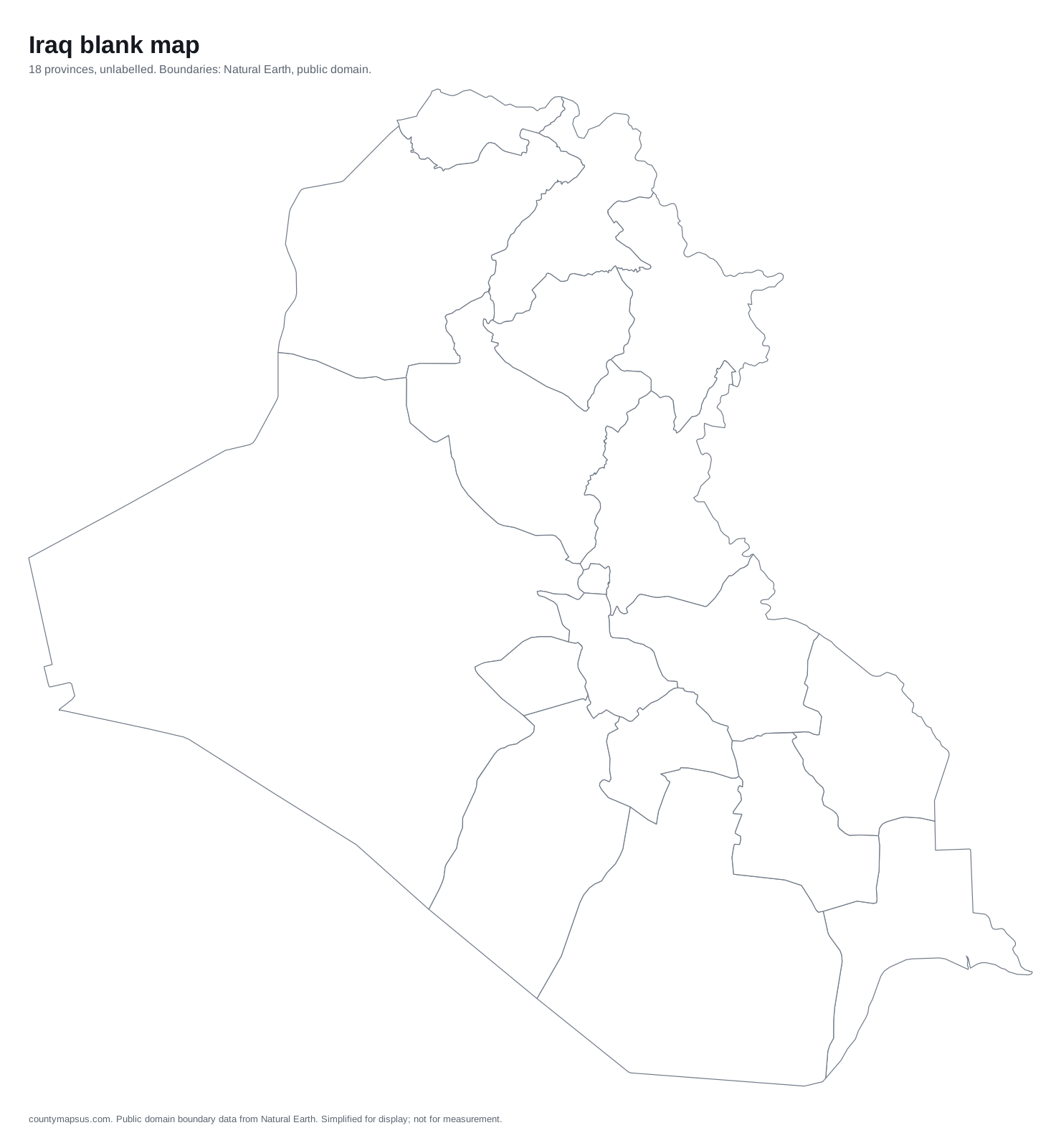 Iraq18 provinces
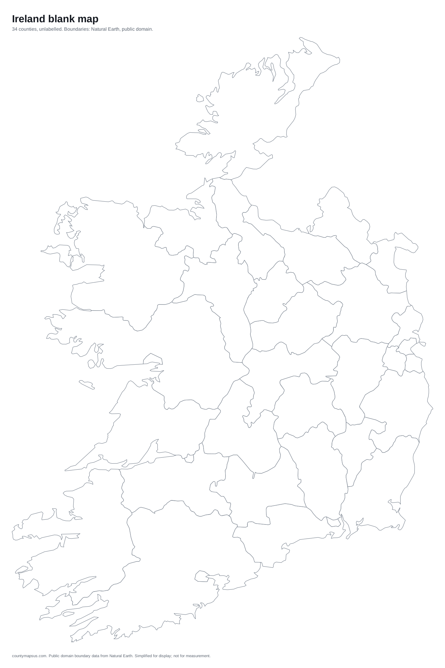 Ireland34 counties
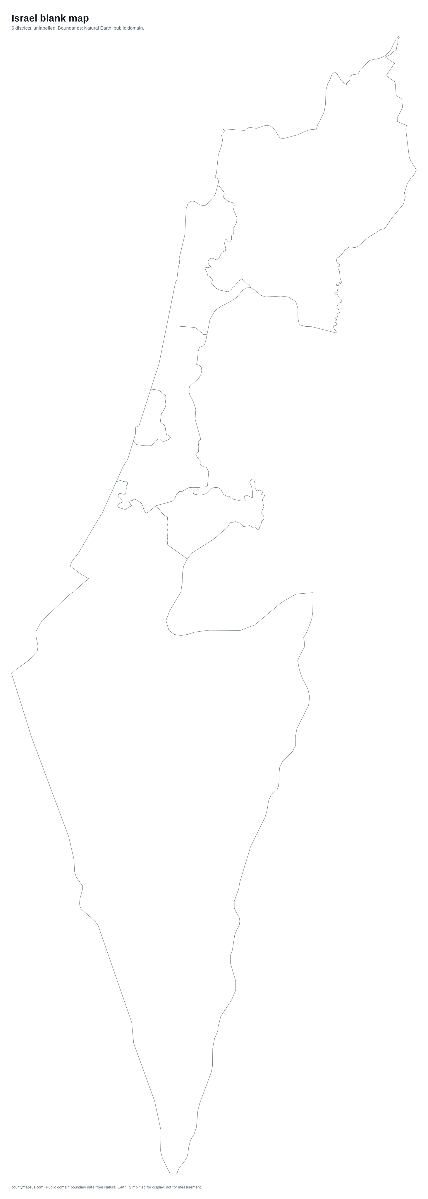 Israel6 districts
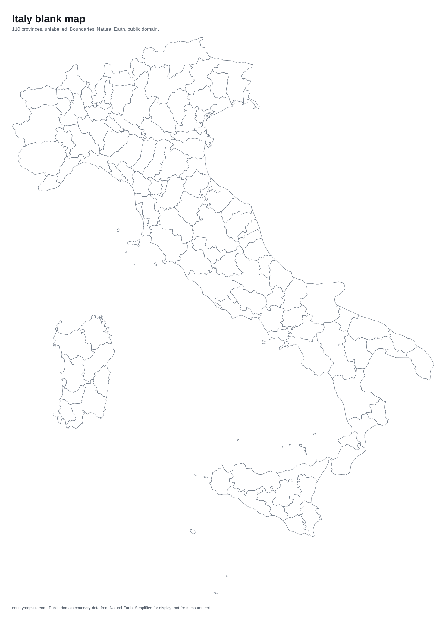 Italy110 provinces
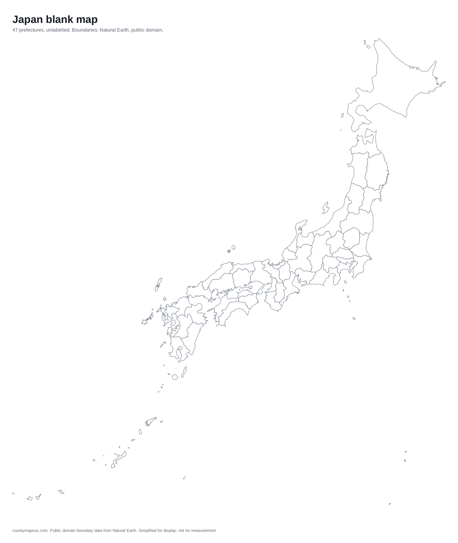 Japan47 prefectures
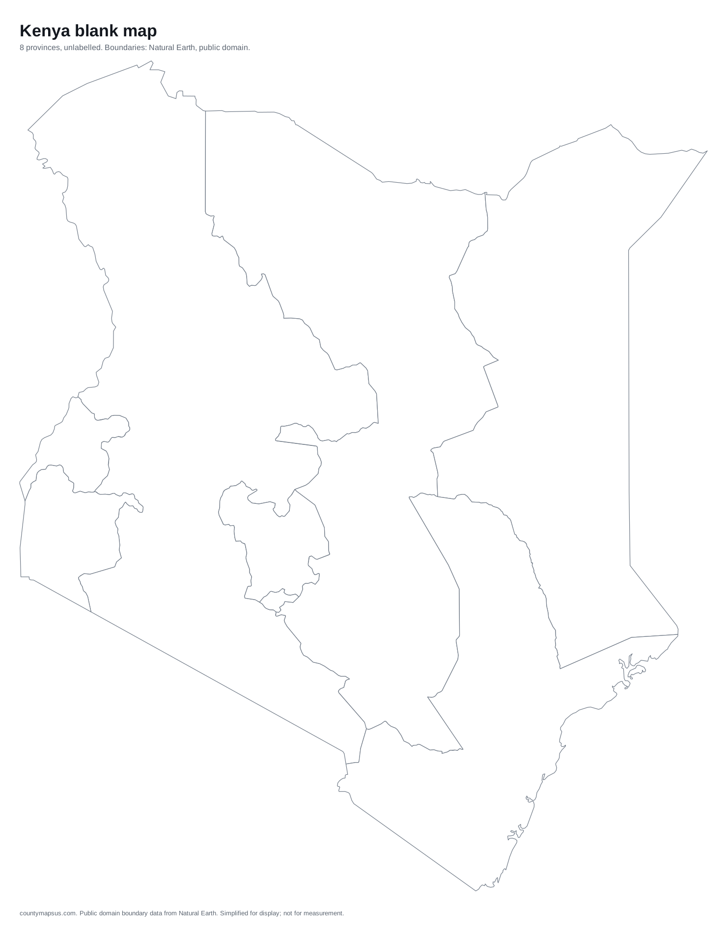 Kenya8 provinces
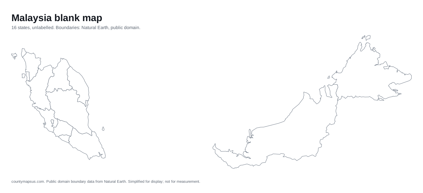 Malaysia16 states
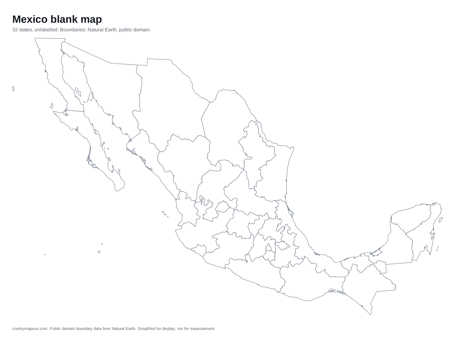 Mexico32 states
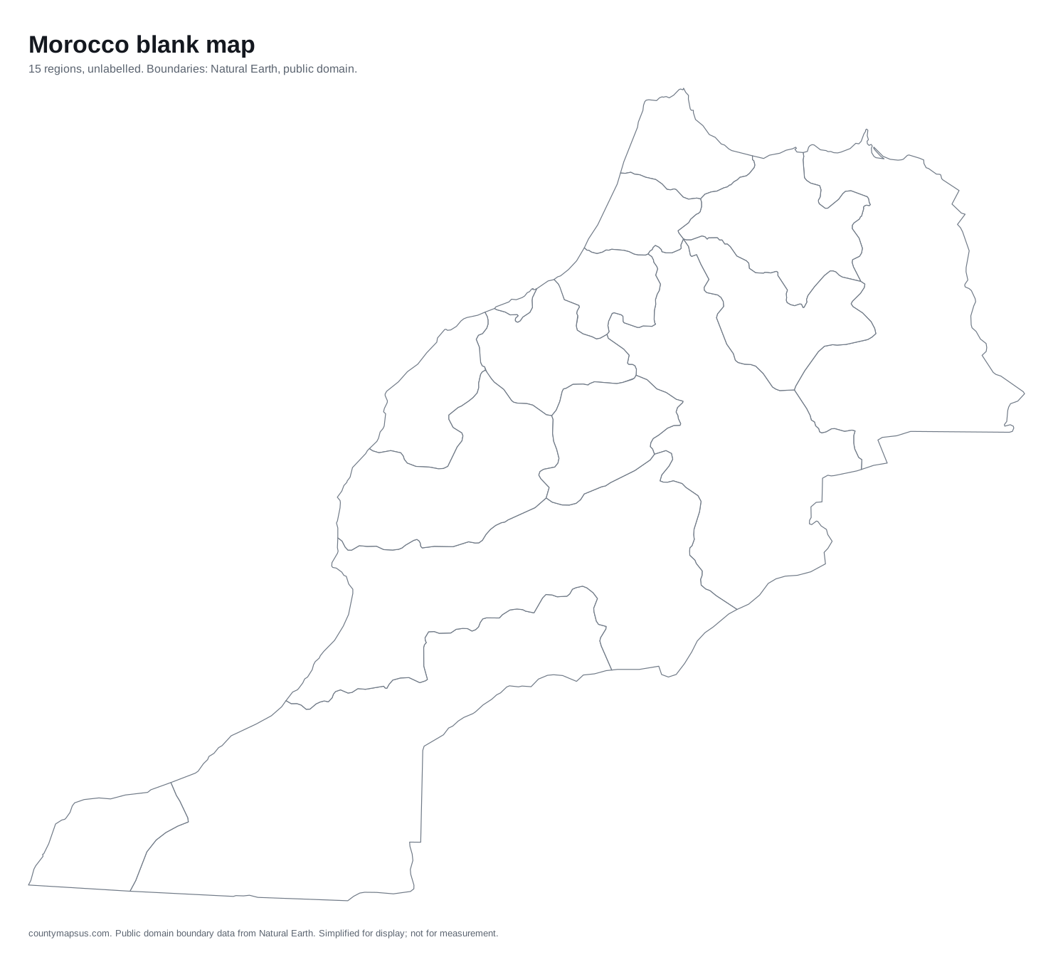 Morocco15 regions
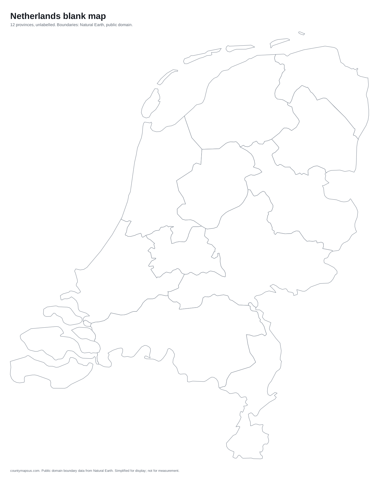 Netherlands12 provinces
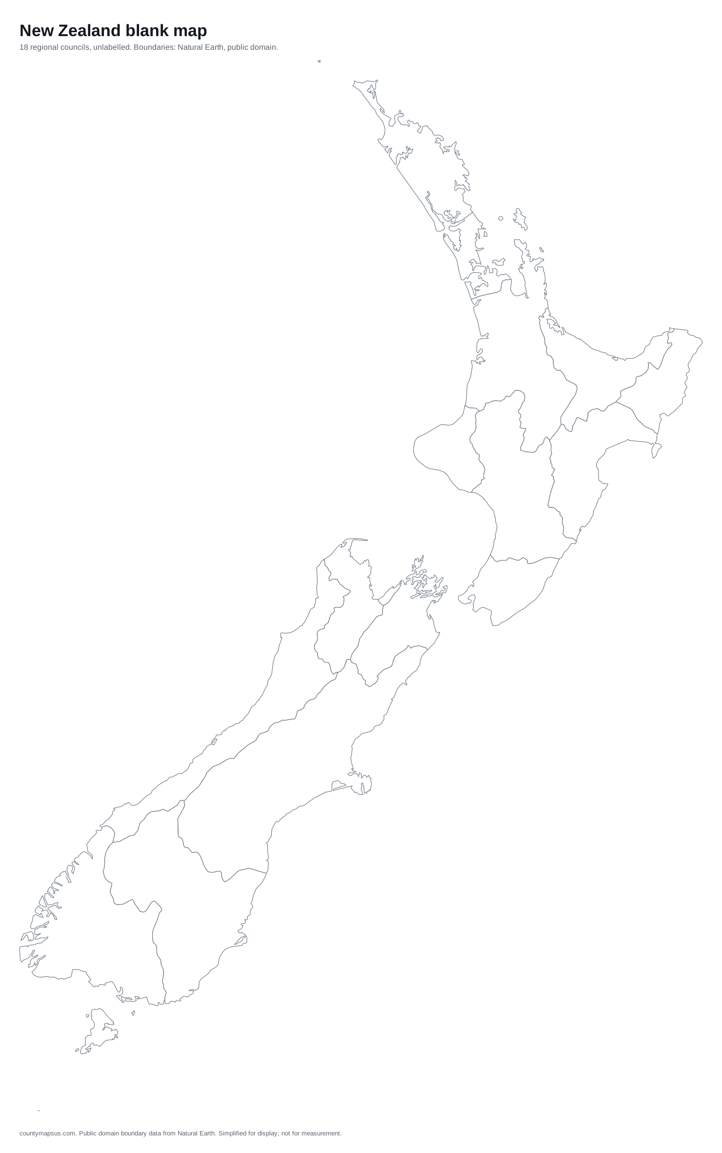 New Zealand18 regional councils
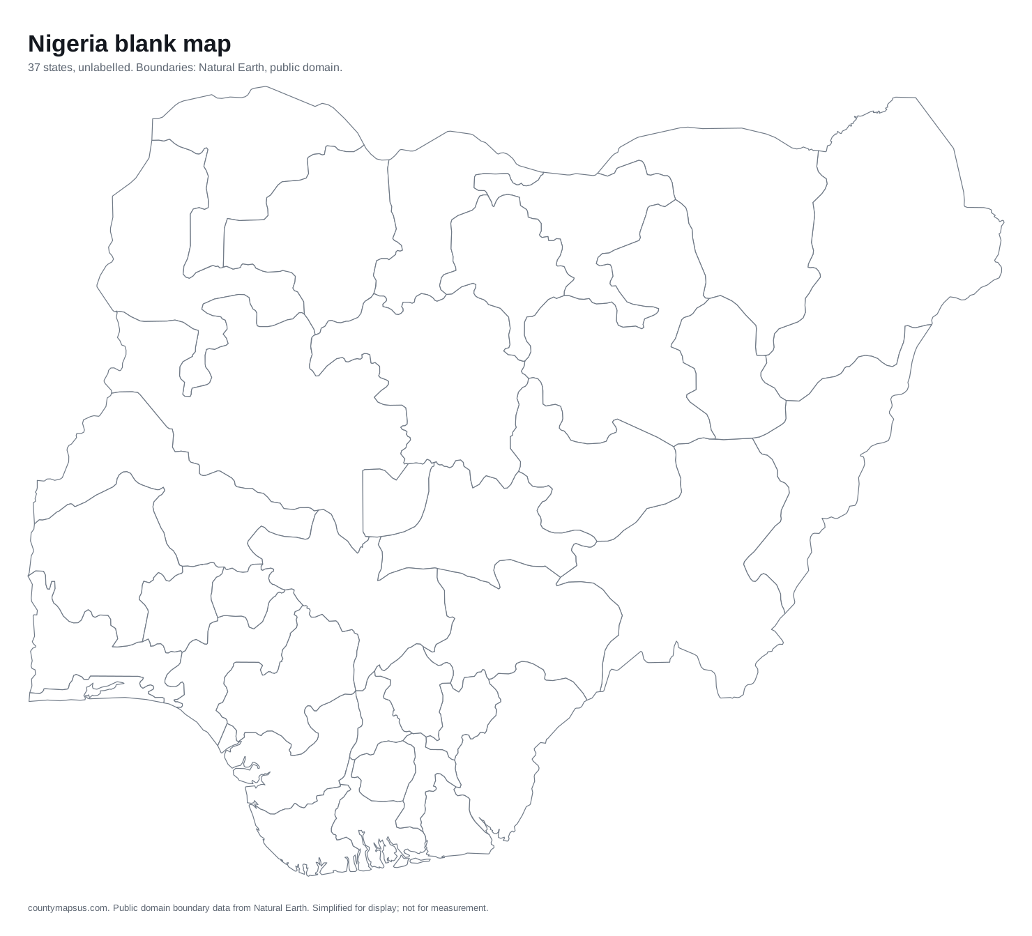 Nigeria37 states
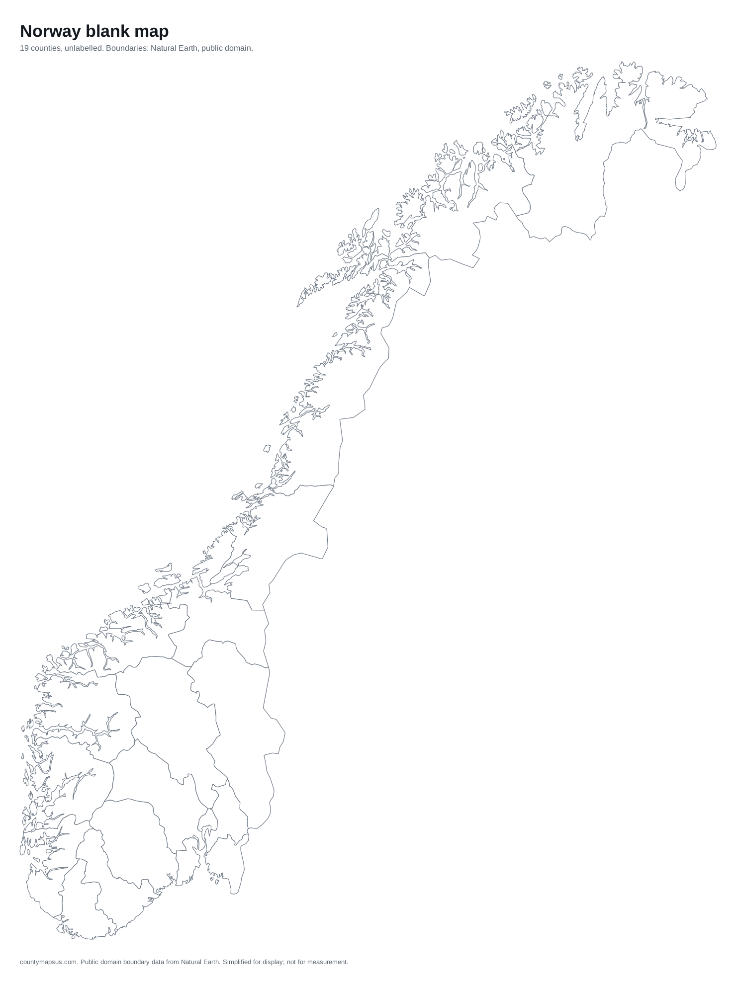 Norway19 counties
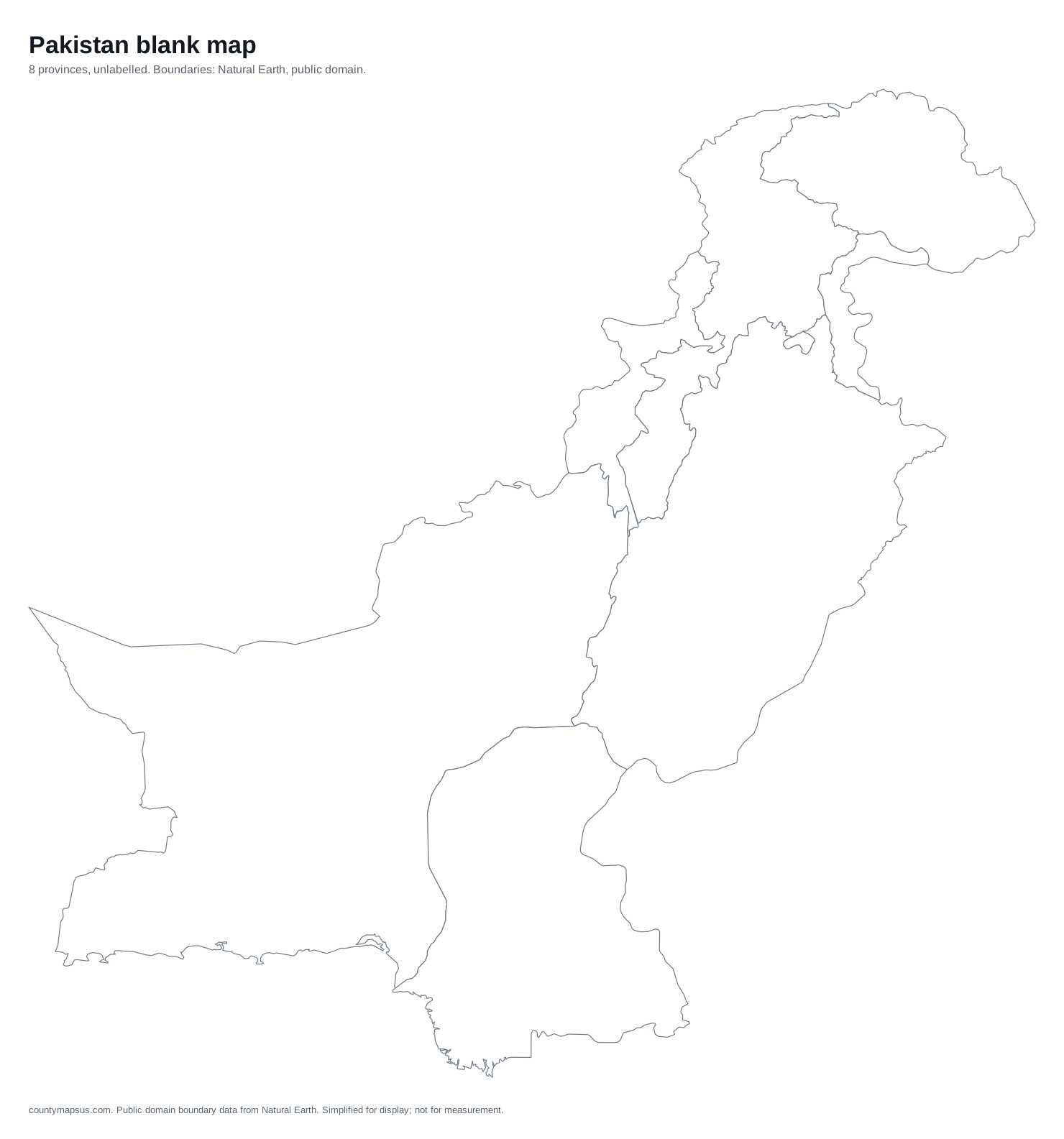 Pakistan8 provinces
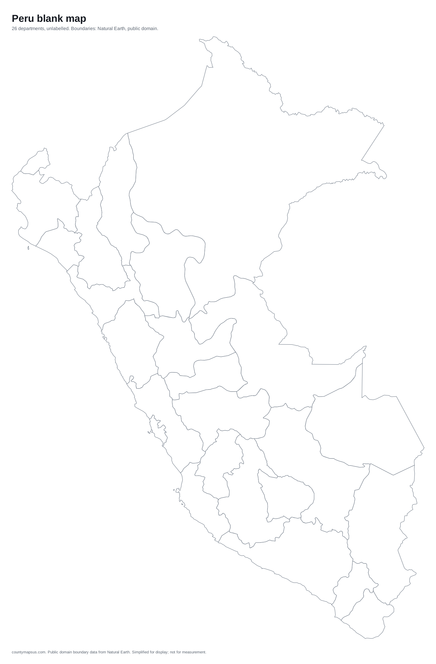 Peru26 departments
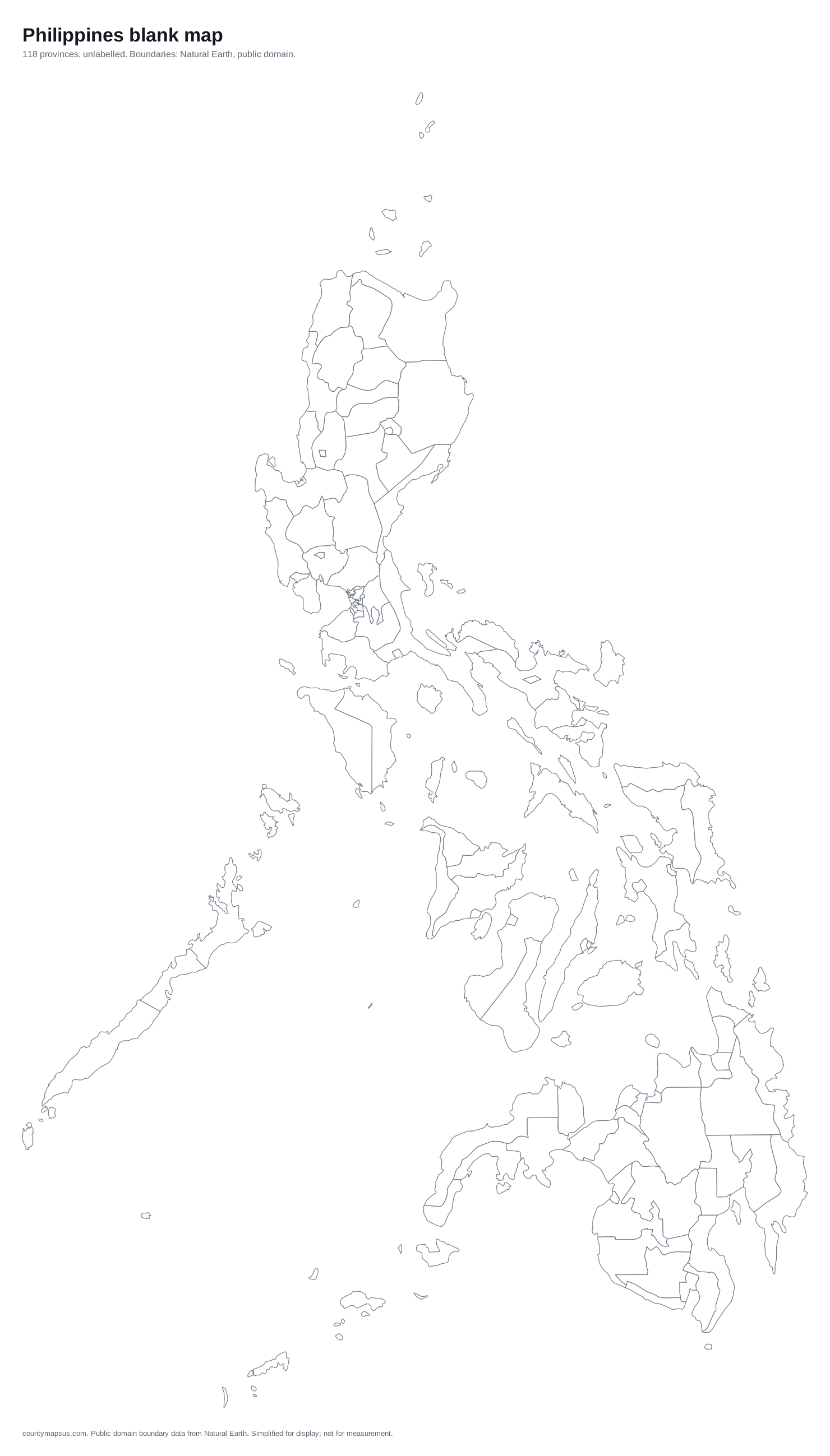 Philippines118 provinces
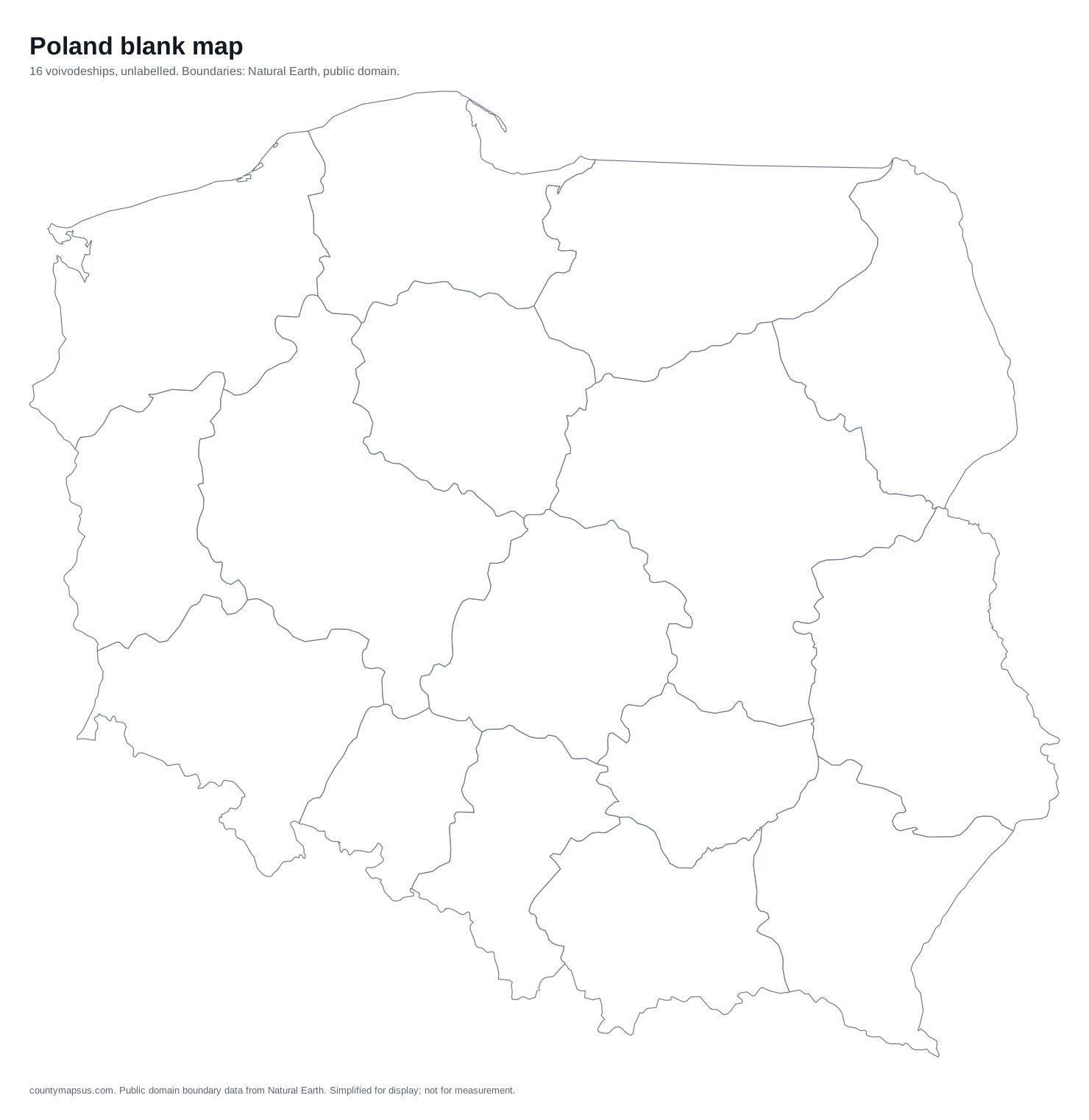 Poland16 voivodeships
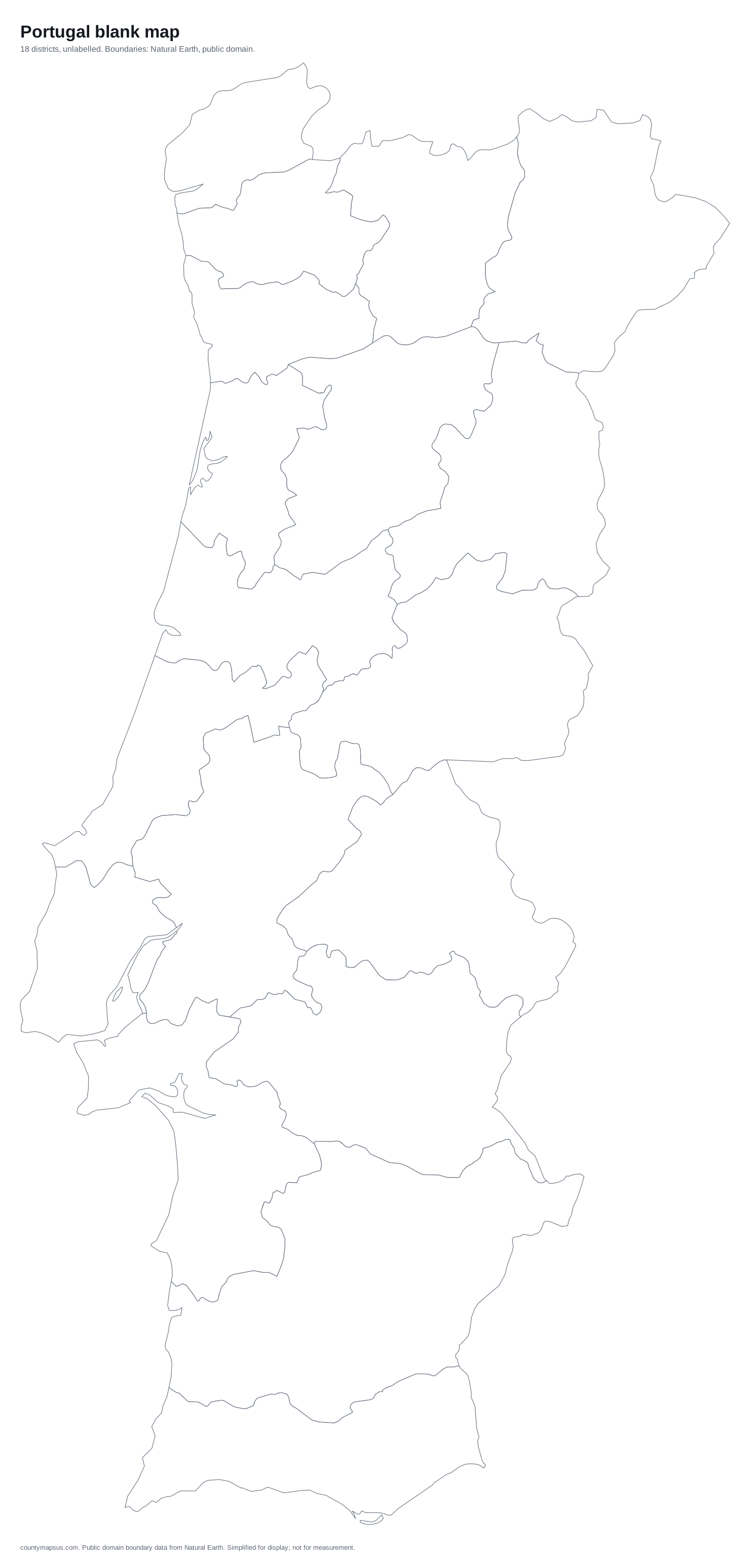 Portugal18 districts
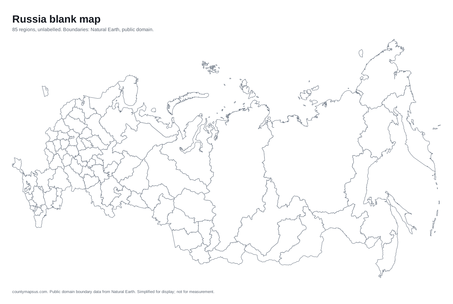 Russia85 regions
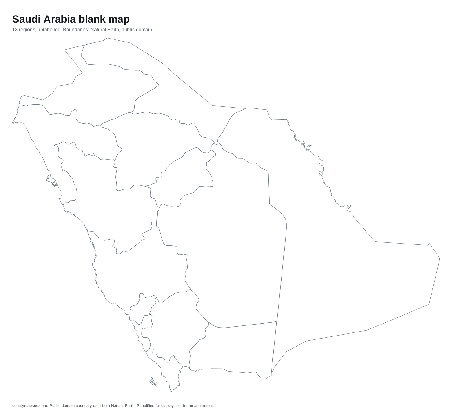 Saudi Arabia13 regions
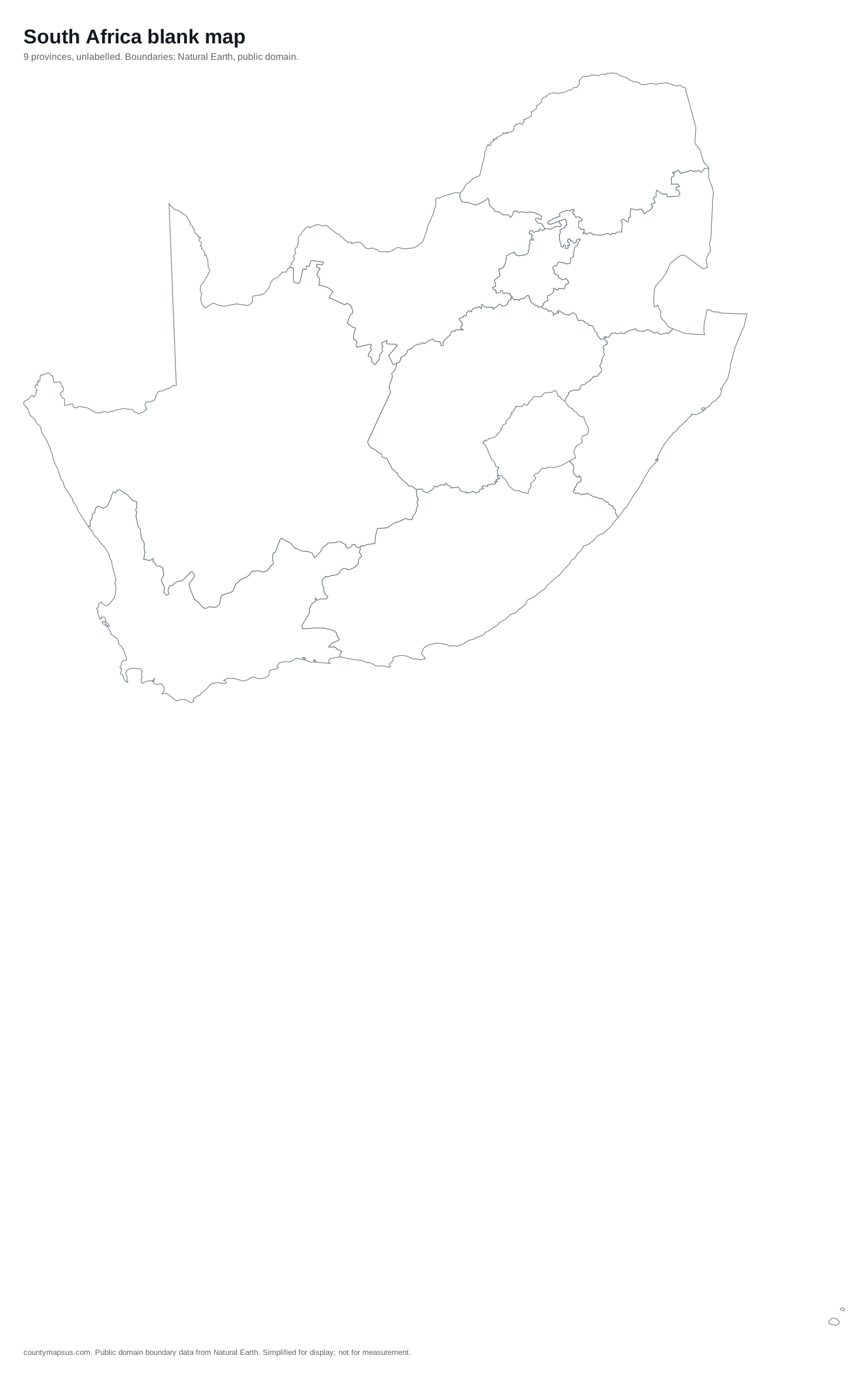 South Africa9 provinces
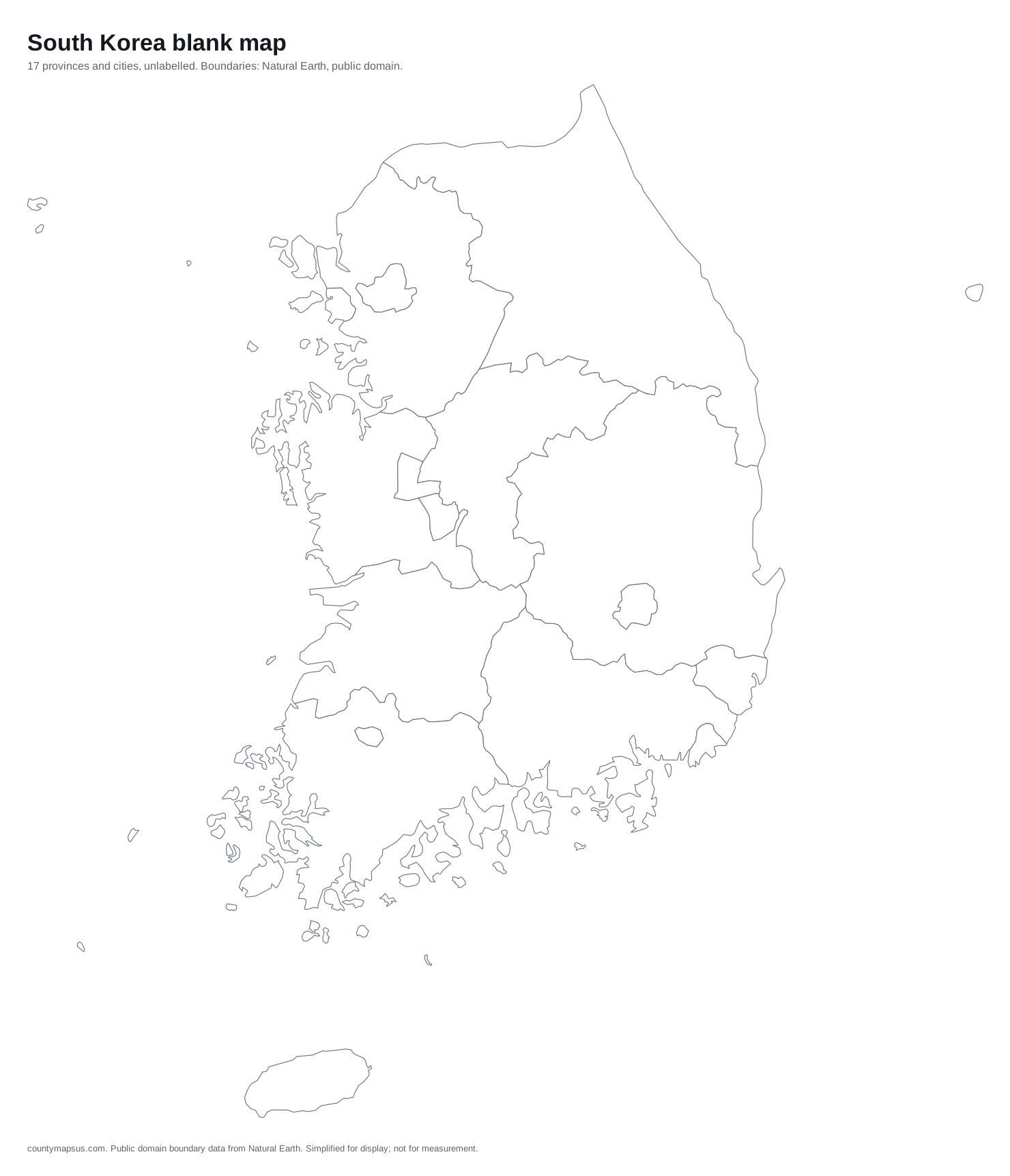 South Korea17 provinces and cities
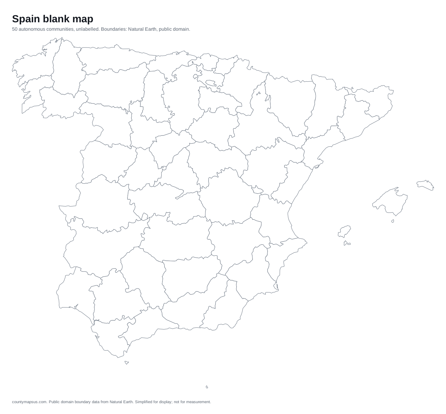 Spain50 autonomous communities
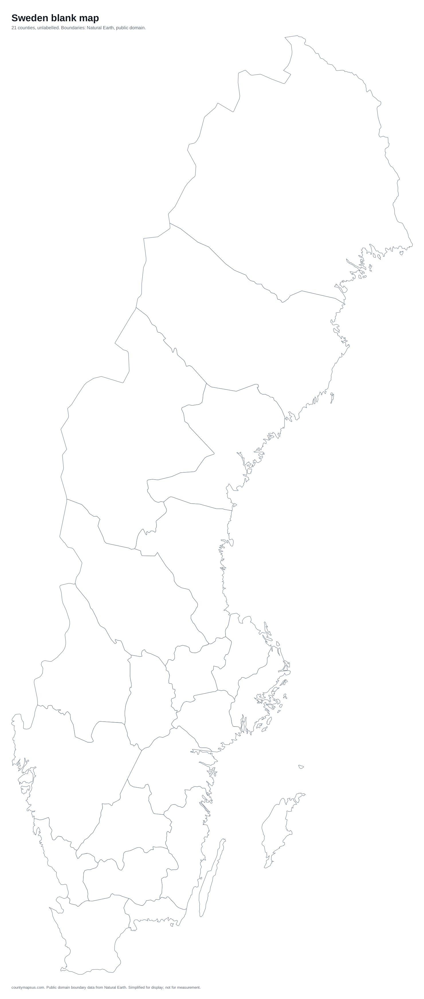 Sweden21 counties
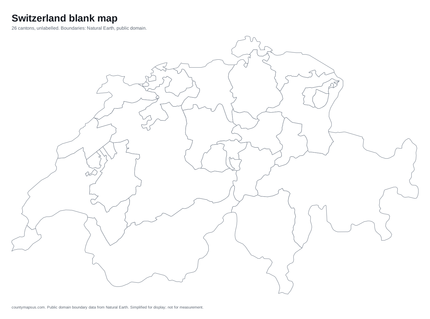 Switzerland26 cantons
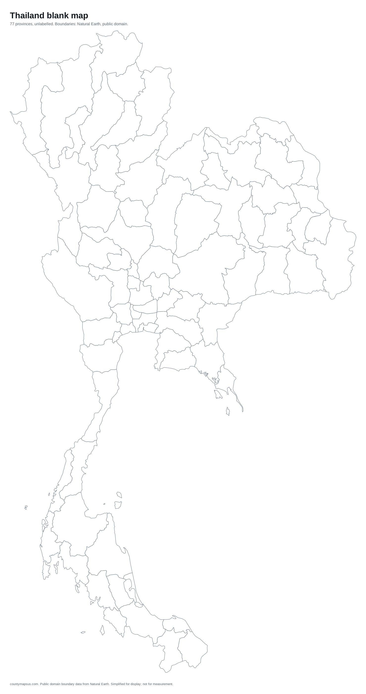 Thailand77 provinces
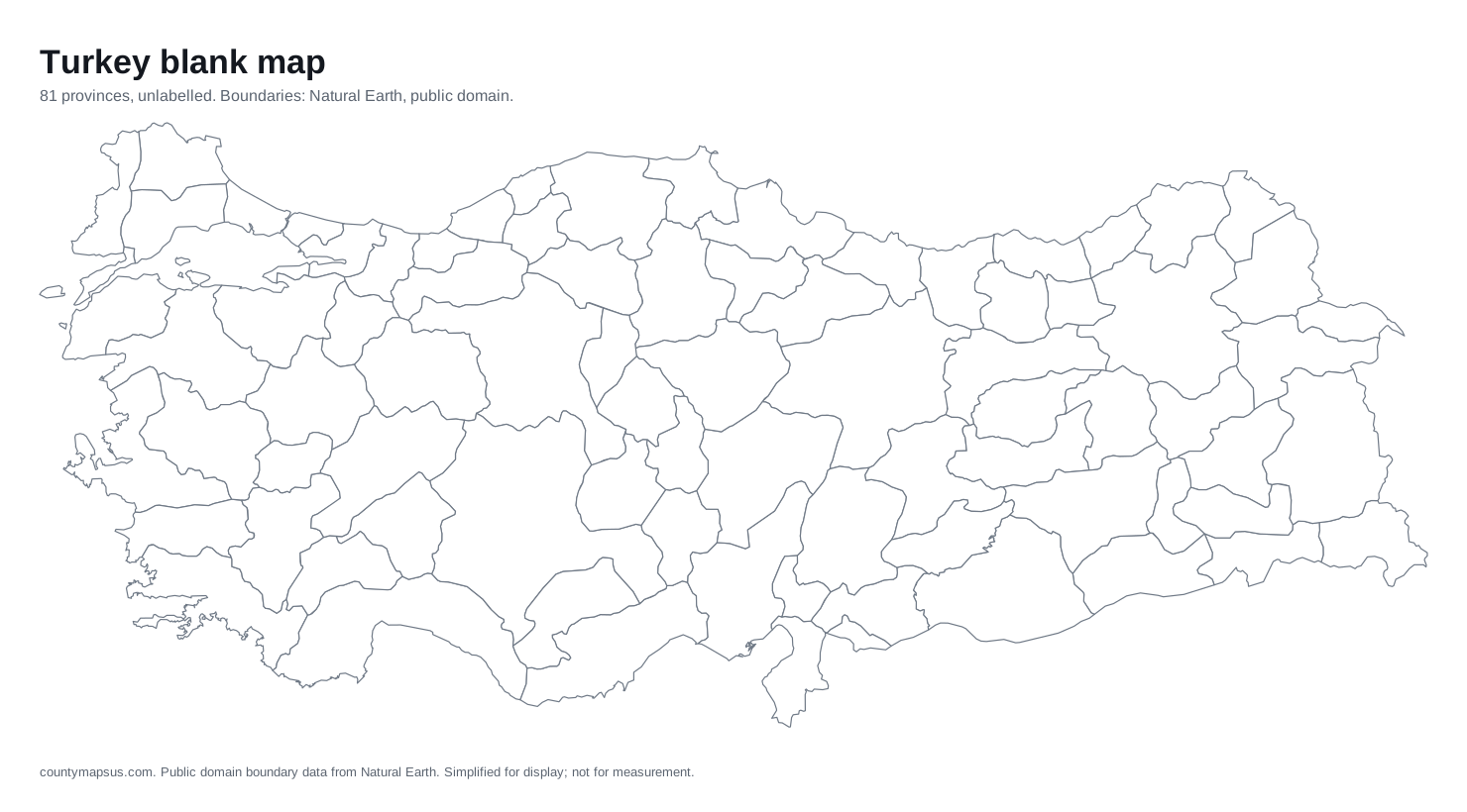 Turkey81 provinces
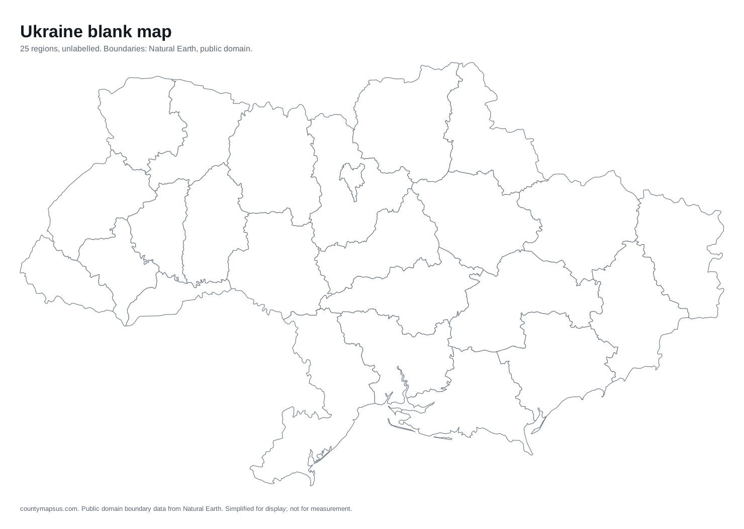 Ukraine25 regions
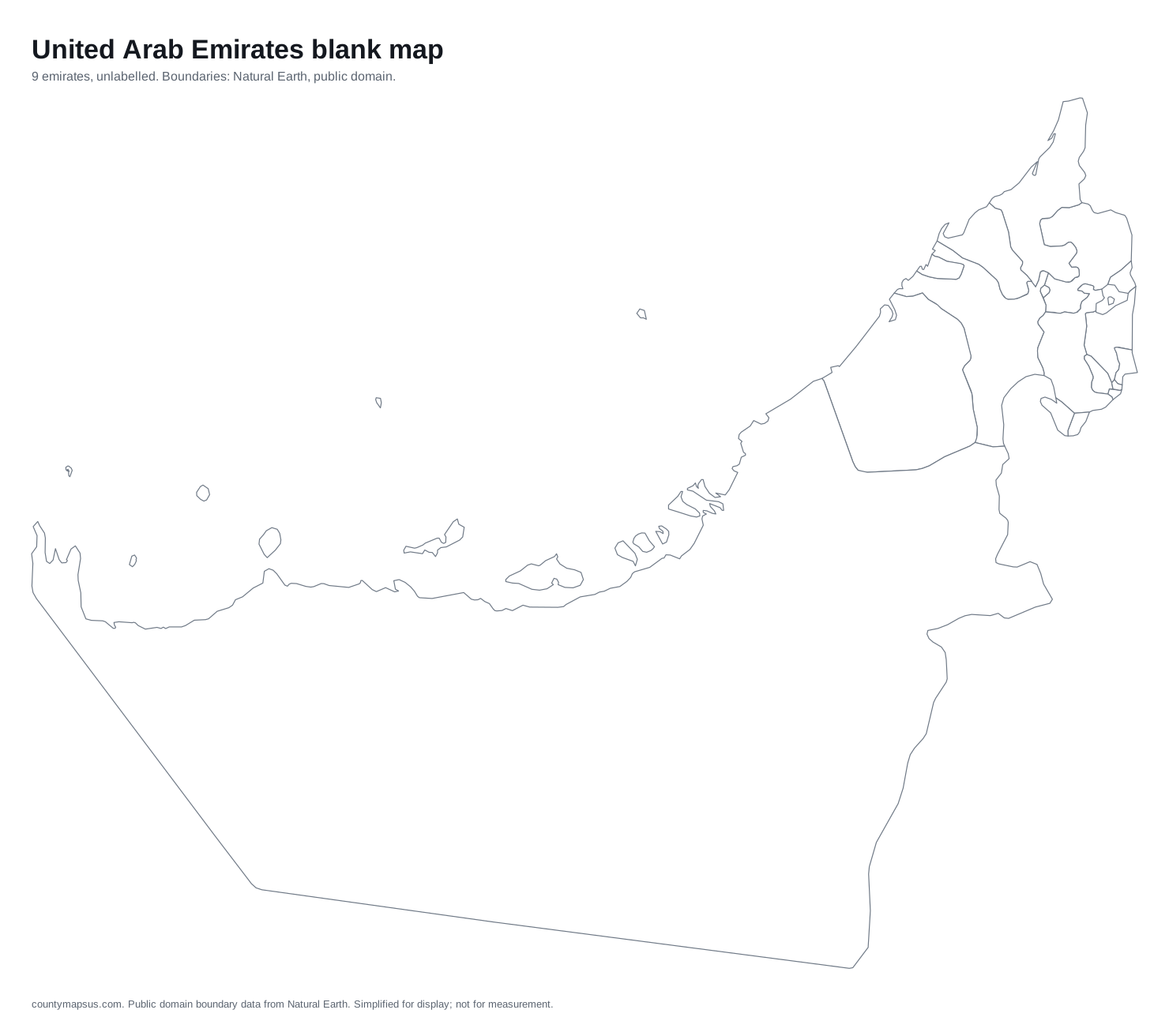 United Arab Emirates9 emirates
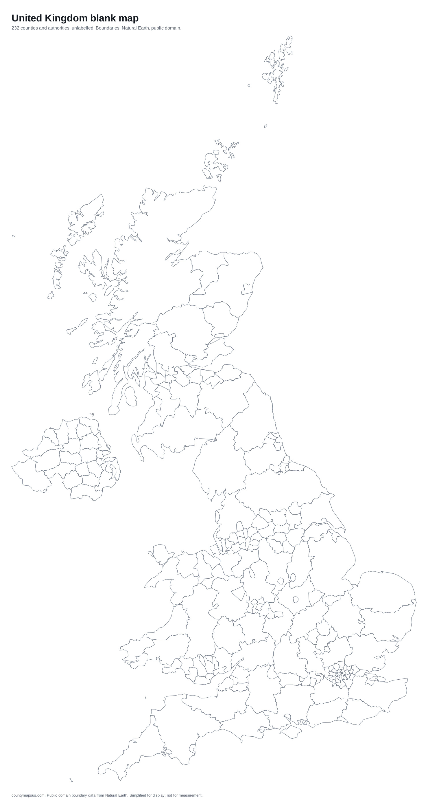 United Kingdom232 counties and authorities
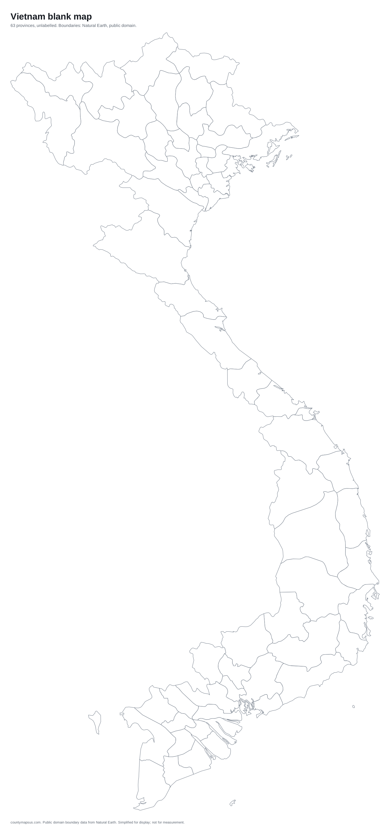 Vietnam63 provinces
Using the maps
SVG is the file to edit: open it in Illustrator, Inkscape, Figma or a browser and every region is its own shape. PNG is the file to paste into a slide or a document. PDF is the file to print, sized to a page.
US boundaries come from the Census Bureau's cartographic boundary files, which are public domain. World and country boundaries come from Natural Earth, also public domain. No attribution is required, though a link back is appreciated. Boundaries are simplified for display and are not suitable for legal or survey use.