Blank maps Country
South Africa blank map
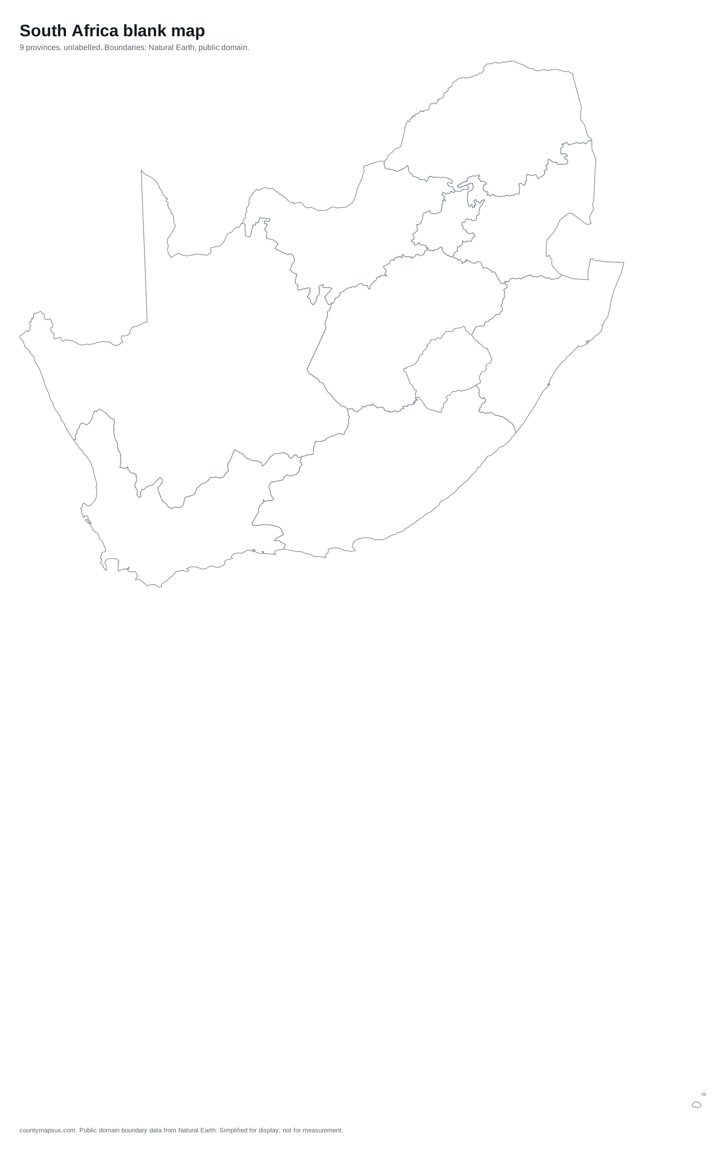
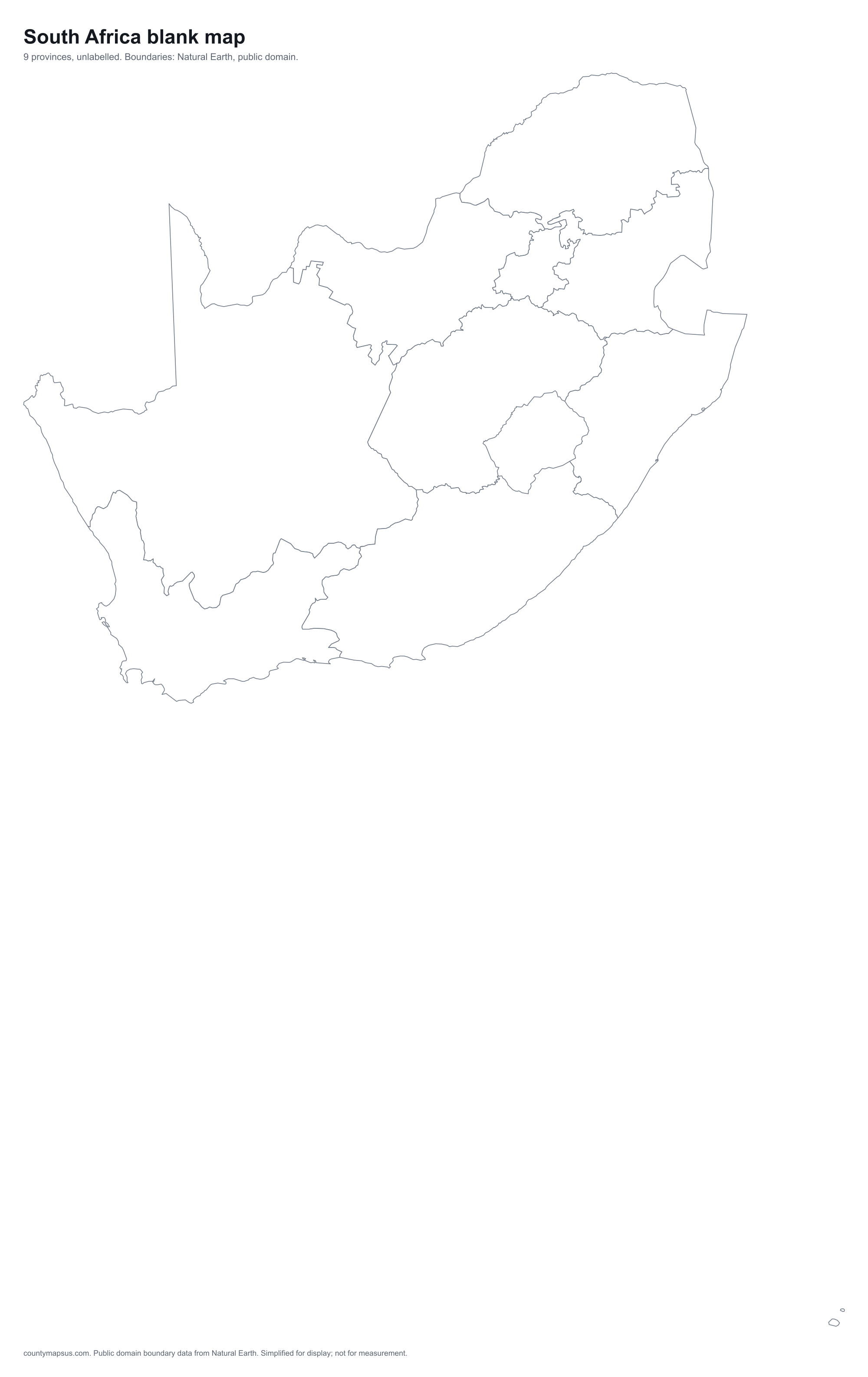
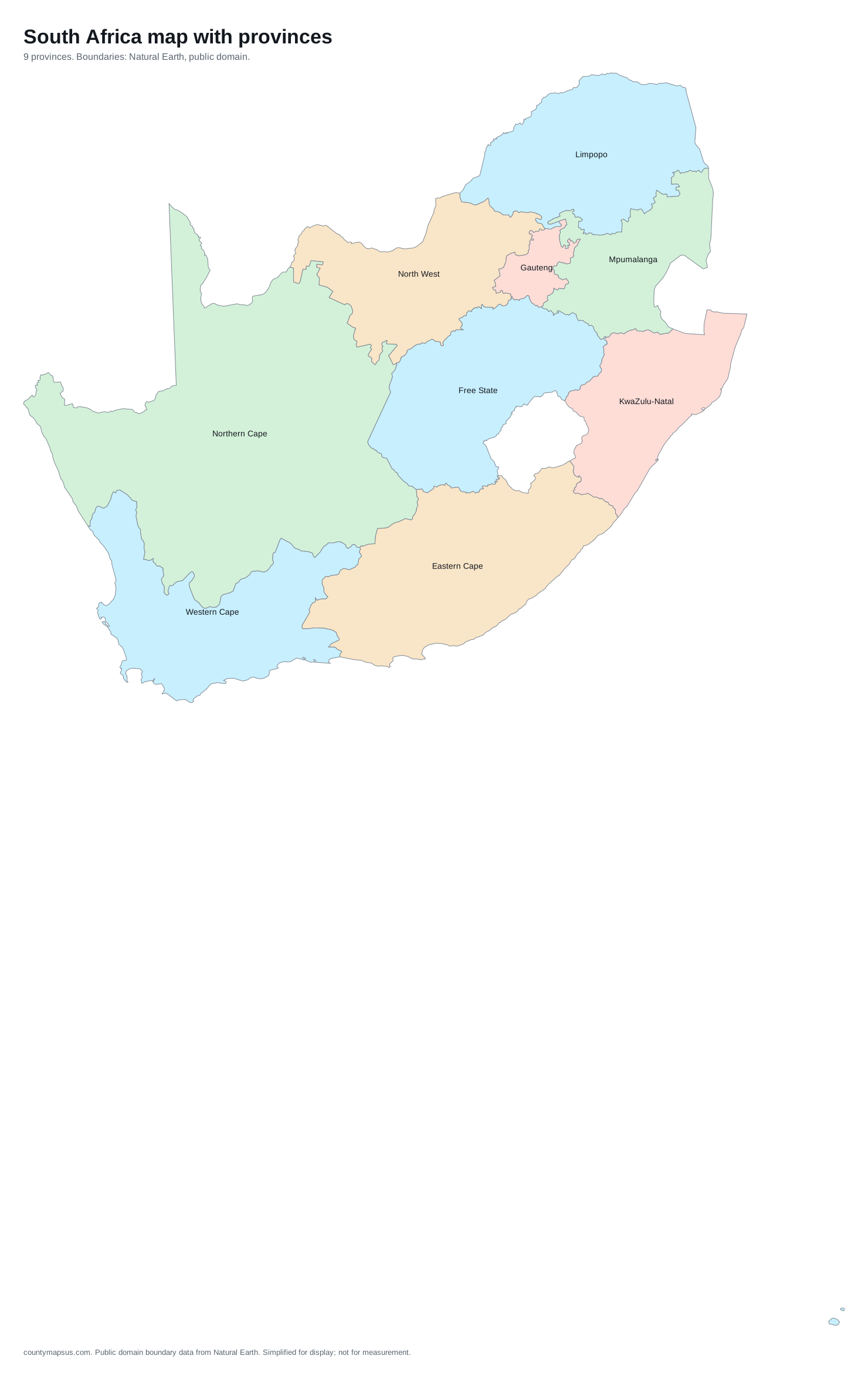
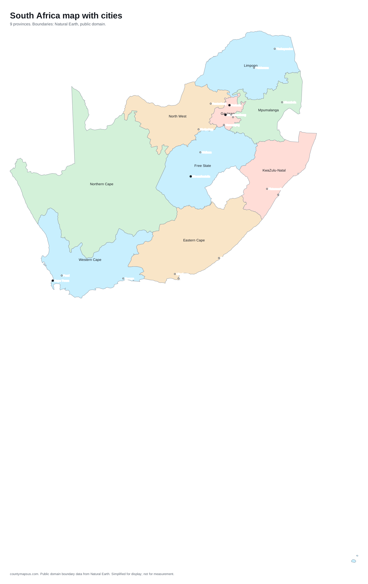
A printable map of South Africa with its 9 provinces, free to download as SVG, PNG and PDF. Comes blank, labeled, coloured, and with 20 major cities marked. Boundaries from Natural Earth, public domain.
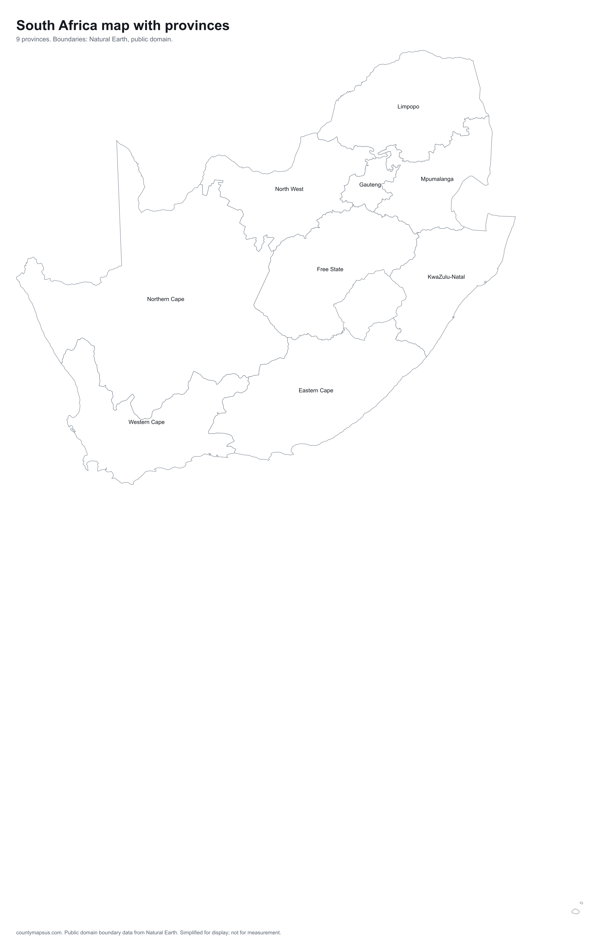
Download
| Version | What is on it | Files |
|---|---|---|
| Blank | Outlines of the 9 provinces, no names. The one to print and colour in. | SVG vector, editablePNG 2,000 px wide |
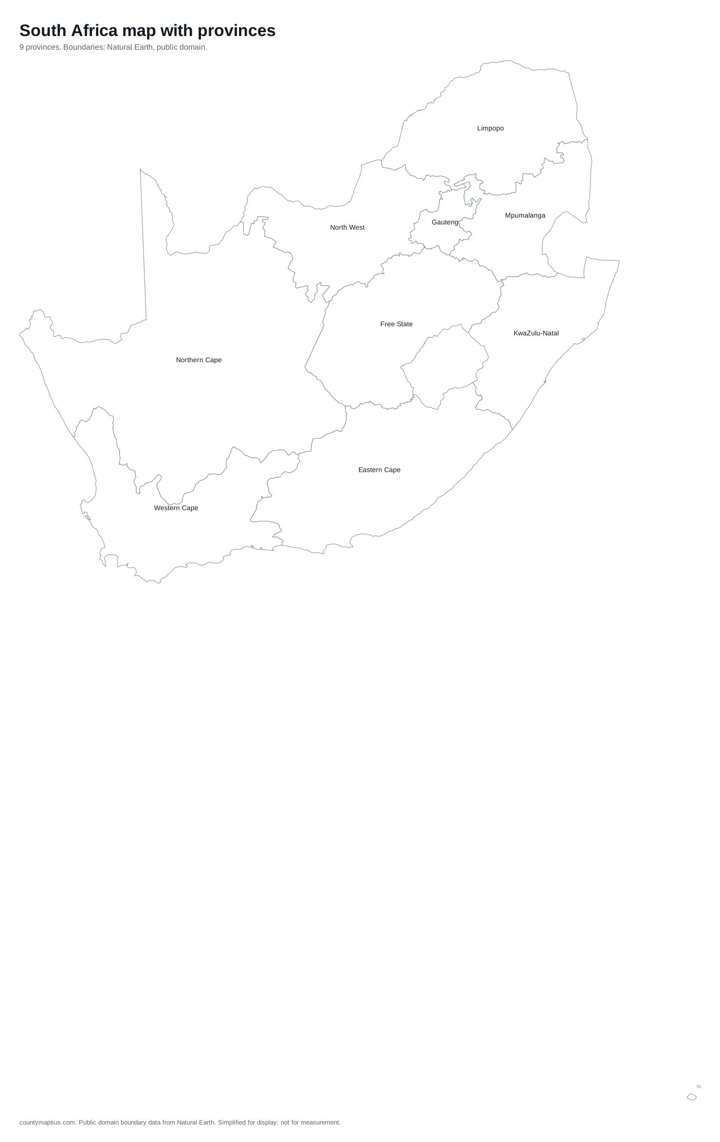
| Labeled | Every unit named where the shape has room for it. | SVG vector, editablePNG 2,000 px widePDF letter size |
| Colored | Named, with neighbouring regions in different tints so borders read at a glance. | SVG vector, editable |
| With cities | Named, plus 20 capitals and major cities as dots. | SVG vector, editable |
The 9 provinces on the map
First-level subdivisions of South Africa as Natural Earth records them. 9 of 9 are named on the labeled map; the rest are too small to carry a name at print size and are listed here instead.
- Eastern Cape
- Free State
- Gauteng
- KwaZulu-Natal
- Limpopo
- Mpumalanga
- North West
- Northern Cape
- Western Cape
Cities on the "with cities" version
Capitals as filled dots, other major cities as open dots, ranked by population from Natural Earth's populated places.
Johannesburg, Cape Town, Pretoria, Bloemfontein, Benoni, Durban, Vereeniging, Port Elizabeth, Pietermaritzburg, Welkom, Mbombela, East London, Thohoyandou, Springs, Uitenhage, Polokwane, Paarl, Klerksdorp, George, Rustenburg.
Questions
- Can I use the South Africa map commercially?
- Yes. The boundaries are from Natural Earth, which is in the public domain, and the files here carry no licence of their own. You may use them in print, on a website, in a product or in class without attribution, though a link back is welcome.
- Which file should I download?
- SVG if you want to edit the map or recolour regions: every region is a separate shape. PNG if you want to paste it into a document, a slide or a worksheet. PDF if you want to print it at letter size.
- How accurate are the boundaries?
- The map is drawn from Natural Earth at 1:10 million scale and simplified so lines stay clean at print size. It shows where provinces are and how they fit together. It is not a survey product and should not be used to decide where a boundary runs on the ground.